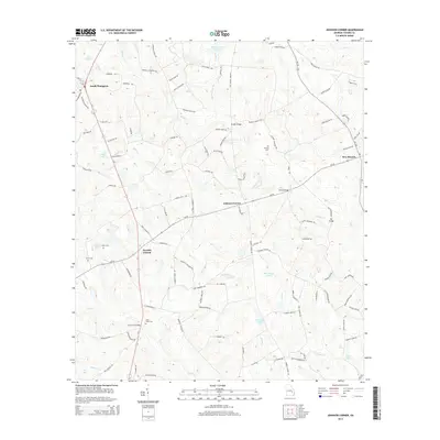
2014 Map of Johnson Corner
USGS Topo · Published 2014About this map
Toombs Central serves as a focal point for this rural agricultural landscape in Toombs County, where the network of unpaved roads and creek crossings defines the community structure. The terrain is characterized by the winding paths of Rocky Cr and Inman Cr, which feed into numerous named water bodies such as John Currie Lake and Cato Lake. These water sources appear central to the local geography, surrounded by family-named landmarks and historical burial sites including Cobb Creek Cem and Pittman Cem. The map reveals a high density of named roads like Betty Zeigler Rd and Joe Harden Rd, suggesting a landscape carved into long-standing family farmsteads and rural residences. Small hubs like South Thompson and Johnson Corner anchor the intersections of these local routes, preserving the layout of this Georgia interior before modern development shifted traditional patterns.
Find a feature on this map
106 named features on this map. Tap any name to fly to it.
Don’t see what you’re looking for? This feature index may not catch every label — zoom into the map to look around manually.
Map Details
Editions of this 2014 Johnson Corner Map
This is the sole edition of this map. No revisions or reprints were ever made.
Other maps of this area

1953 · Waycross
USGS Topo · 1:250,000

1957 · Macon
USGS Topo · 1:250,000

1958 · Macon
USGS Topo · 1:250,000

1958 · Waycross
USGS Topo · 1:250,000

1964 · Macon
USGS Topo · 1:250,000

1970 · Johnson Corner
USGS Topo · 1:24,000

1970 · Alston
USGS Topo · 1:24,000

1970 · Vidalia
USGS Topo · 1:24,000

1970 · Ohoopee
USGS Topo · 1:24,000

1970 · Reidsville West
USGS Topo · 1:24,000