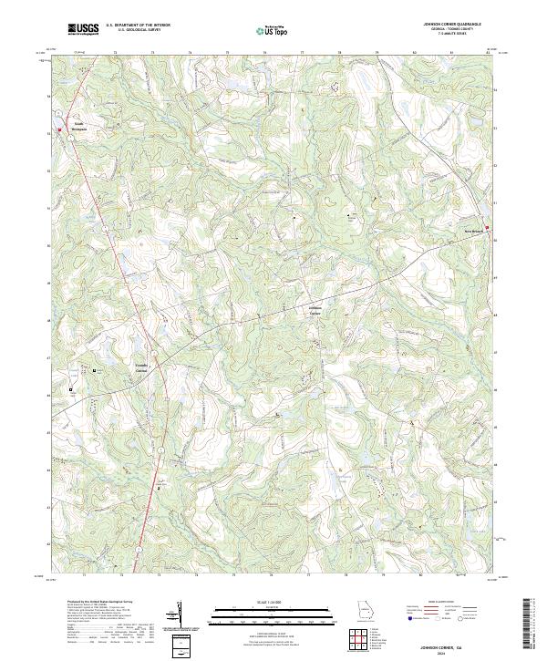
2024 Map of Johnson Corner
USGS Topo · Published 2024About this map
Toombs Central serves as a primary hub in this portion of rural Georgia, situated where State Rte 15 and State Rte 4 intersect. The landscape is defined by a dense network of country roads named for local families, such as Coogan Williams Rd and Roderick Clifton Rd, suggesting a legacy of long-held agricultural tracts and multi-generational land ownership. Small communities like South Thompson and Johnson Corner anchor the region, while the presence of the Cobb Creek Cem, Pittman Cem, and Odom Cem offers significant points of interest for genealogical research.
Find a feature on this map
103 named features on this map. Tap any name to fly to it.
Don’t see what you’re looking for? This feature index may not catch every label — zoom into the map to look around manually.
Map Details
Editions of this 2024 Johnson Corner Map
This is the sole edition of this map. No revisions or reprints were ever made.
Other maps of this area

1953 · Waycross
USGS Topo · 1:250,000

1957 · Macon
USGS Topo · 1:250,000

1958 · Macon
USGS Topo · 1:250,000

1958 · Waycross
USGS Topo · 1:250,000

1964 · Macon
USGS Topo · 1:250,000

1970 · Johnson Corner
USGS Topo · 1:24,000

1970 · Alston
USGS Topo · 1:24,000

1970 · Vidalia
USGS Topo · 1:24,000

1970 · Ohoopee
USGS Topo · 1:24,000

1970 · Reidsville West
USGS Topo · 1:24,000