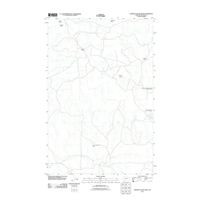
2011 Map of Johnson Coulee West
USGS Topo · Published 2011About this map
Nelson Creek and its many offshoots, including Johnson Coulee, Crookers Coulee, and Garfield Coulee, define the drainage patterns of this McCone County landscape. This 2011 survey reveals an environment structured by seasonal water management, where local operations have established infrastructure like the Dreyer Brothers Incorporated Number 1 Dam, Murphy Number 2 Dam, and Hannaland Number 1 Dam. These named impoundments alongside Coal Creek highlight the necessity of water storage for ranching and agriculture in the high plains of eastern Montana. To the north, McDonald Butte provides a significant vertical reference point above the surrounding draws, including Dogtown Coulee and Morris Coulee. The map shows a sparse network of local roads and trails typical of this remote region, where the naming of individual coulees often reflects the lineage and settlement history of the families who managed the land.
Find a feature on this map
11 named features on this map. Tap any name to fly to it.
Don’t see what you’re looking for? This feature index may not catch every label — zoom into the map to look around manually.
Map Details
Editions of this 2011 Johnson Coulee West Map
This is the sole edition of this map. No revisions or reprints were ever made.
Other maps of this area

1954 · Jordan
USGS Topo · 1:250,000

1954 · Glendive
USGS Topo · 1:250,000

1956 · Jordan
USGS Topo · 1:250,000

1957 · Glendive
USGS Topo · 1:250,000

1958 · Jordan
USGS Topo · 1:250,000

1958 · Glendive
USGS Topo · 1:250,000

1964 · Jordan
USGS Topo · 1:250,000

1973 · Rodgers Hall
USGS Topo · 1:24,000

1973 · Nelson Creek Bay
USGS Topo · 1:24,000

1978 · Fort Peck Lake East
USGS Topo · 1:100,000