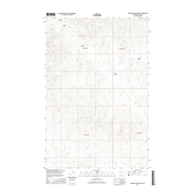
2017 Map of Johnson Coulee West
USGS Topo · Published 2017About this map
Johnson Coulee and the surrounding drainage network define this high-plains landscape in eastern Montana. This 2017 survey by the U.S. Geological Survey details the intricate erosional patterns of the Big Dry Creek watershed. The terrain is marked by seasonal watercourses and deep ravines, including Morris Coulee and Dogtown Coulee in the northwest, which feed into the winding Nelson Cr.
Find a feature on this map
11 named features on this map. Tap any name to fly to it.
Don’t see what you’re looking for? This feature index may not catch every label — zoom into the map to look around manually.
Map Details
Editions of this 2017 Johnson Coulee West Map
This is the sole edition of this map. No revisions or reprints were ever made.
Other maps of this area

1954 · Jordan
USGS Topo · 1:250,000

1954 · Glendive
USGS Topo · 1:250,000

1956 · Jordan
USGS Topo · 1:250,000

1957 · Glendive
USGS Topo · 1:250,000

1958 · Jordan
USGS Topo · 1:250,000

1958 · Glendive
USGS Topo · 1:250,000

1964 · Jordan
USGS Topo · 1:250,000

1973 · Rodgers Hall
USGS Topo · 1:24,000

1973 · Nelson Creek Bay
USGS Topo · 1:24,000

1978 · Fort Peck Lake East
USGS Topo · 1:100,000