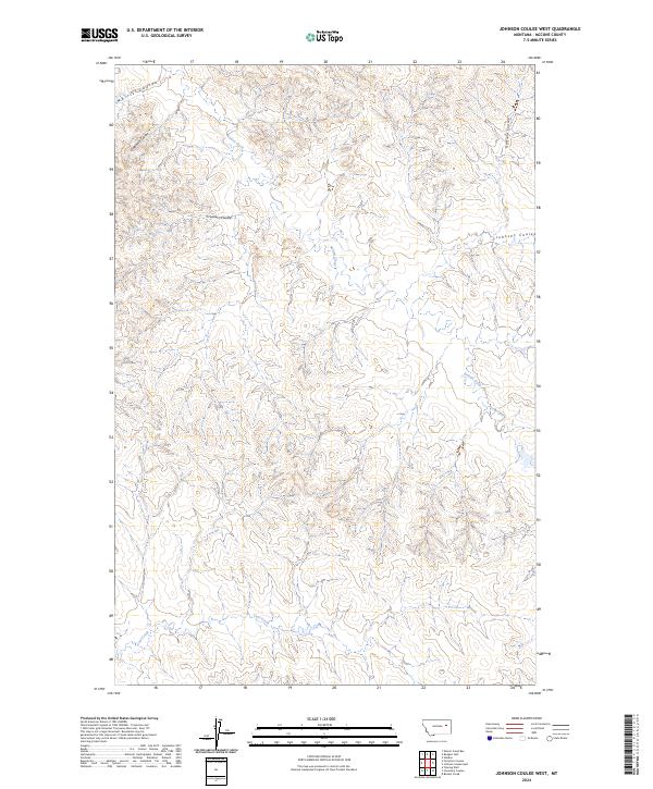
2024 Map of Johnson Coulee West
USGS Topo · Published 2024About this map
Nelson Creek winds through this McCone County landscape, serving as a primary drainage for a network of coulees that define the local geography. The area is marked by a complex system of seasonal watercourses, including Morris Coulee, Dogtown Coulee, and Crookers Coulee, which illustrate the erosion patterns characteristic of this part of Montana. These features, along with Garfield Coulee and Johnson Coulee, suggest a terrain primarily shaped by water movement and traditional land use patterns typical of the region's vast ranching spaces. To the south, Coal Creek further emphasizes the intricate hydrography of the high plains, providing a detailed record of the natural landmarks used by generations of locals to navigate this expansive territory.
Find a feature on this map
11 named features on this map. Tap any name to fly to it.
Don’t see what you’re looking for? This feature index may not catch every label — zoom into the map to look around manually.
Map Details
Editions of this 2024 Johnson Coulee West Map
This is the sole edition of this map. No revisions or reprints were ever made.
Other maps of this area

1954 · Jordan
USGS Topo · 1:250,000

1954 · Glendive
USGS Topo · 1:250,000

1956 · Jordan
USGS Topo · 1:250,000

1957 · Glendive
USGS Topo · 1:250,000

1958 · Jordan
USGS Topo · 1:250,000

1958 · Glendive
USGS Topo · 1:250,000

1964 · Jordan
USGS Topo · 1:250,000

1973 · Rodgers Hall
USGS Topo · 1:24,000

1973 · Nelson Creek Bay
USGS Topo · 1:24,000

1978 · Fort Peck Lake East
USGS Topo · 1:100,000