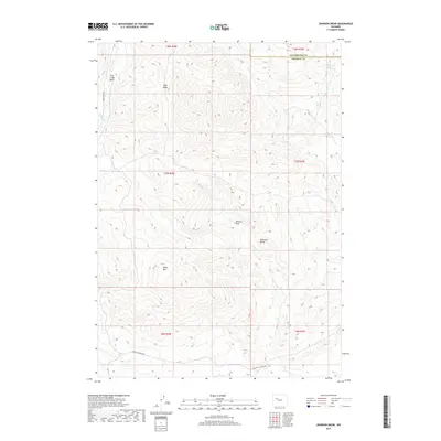
2017 Map of Johnson Draw
USGS Topo · Published 2017About this map
Black Mtn and the southern reaches of the Absaroka Range dominate this high-desert landscape in northern Fremont County. The terrain is defined by a network of drainage systems and ridges, including Trail Ridge and the broad Crow Creek Basin to the west. Sparse but vital water sources like Bald Mountain Spring and Pasup Spring are mapped along the eastern slopes, indicating the critical nature of these points for local wildlife and livestock in an otherwise arid environment.
Find a feature on this map
20 named features on this map. Tap any name to fly to it.
Don’t see what you’re looking for? This feature index may not catch every label — zoom into the map to look around manually.
Map Details
Editions of this 2017 Johnson Draw Map
This is the sole edition of this map. No revisions or reprints were ever made.
Other maps of this area

1904 · Kirwin
USGS Topo · 1:125,000

1906 · Kirwin
USGS Topo · 1:125,000

1952 · Wilderness
USGS Topo · 1:24,000

1952 · Crowheart NW
USGS Topo · 1:24,000

1952 · Crowheart NE
USGS Topo · 1:24,000

1955 · Thermopolis
USGS Topo · 1:250,000

1957 · Crowheart NE
USGS Topo · 1:24,000

1958 · Thermopolis
USGS Topo · 1:250,000

1962 · Thermopolis
USGS Topo · 1:250,000

1967 · Willow Creek
USGS Topo · 1:24,000