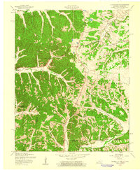
1957 Map of Johnson Hollow
USGS Topo · Published 1960About this map
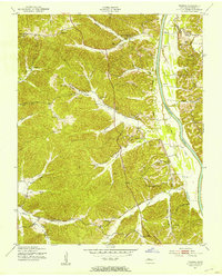
The Fort Campbell Military Reservation occupies a substantial portion of this landscape, its boundary lines intersecting with the Kentucky and Tennessee state border. The terrain is deeply carved by drainage systems like Johnson Hollow and Cheatham Hollow, which feed into local waterways such as Donaldson Cr and Skinner Creek. This 1950s survey documents a rural infrastructure of community nodes, centered around the Delmont Sch and various local houses of worship, including Delmont Ch and Union Hill Ch. Genealogists will find a high density of family and community burial grounds, from the Old Dry Creek Cem in the north to Atkins Cem and Sams Cem further south. The presence of an Airstrip near Saline Creek indicates the military influence on local transportation and land use during this era.
Find a feature on this map
26 named features on this map. Tap any name to fly to it.
Don’t see what you’re looking for? This feature index may not catch every label — zoom into the map to look around manually.
Map Details
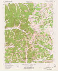
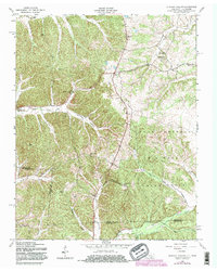
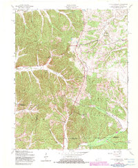
Editions of this 1957 Johnson Hollow Map
4 editions found
Other maps of this area

1936 · Tharpe
USGS Topo · 1:24,000

1950 · Caledonia
USGS Topo · 1:24,000

1951 · Caledonia
USGS Topo · 1:24,000

1951 · Model
USGS Topo · 1:24,000

1951 · Roaring Spring
USGS Topo · 1:24,000

1951 · Johnson Hollow
USGS Topo · 1:24,000
1951 · Tharpe
USGS Topo · 1:24,000

1951 · Indian Mound
USGS Topo · 1:24,000

1951 · Bumpus Mills
USGS Topo · 1:24,000

1953 · Canton
USGS Topo · 1:24,000