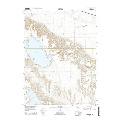
2014 Map of Johnson Lake
USGS Topo · Published 2014About this map
Johnson Lake dominates this landscape on the border of Dawson and Gosper counties, serving as a focal point for water management and recreation in central Nebraska. The map details the intricate shoreline of the reservoir, including Mallard Cove, Perch Bay, and South Bay, while tracing the vital Tri-County Supply Canal that feeds the system. Residential clusters at East Shore and North Shore sit adjacent to the Johnson Lake Airport, illustrating the development of the area as both a utility resource and a local hub.
Find a feature on this map
54 named features on this map. Tap any name to fly to it.
Don’t see what you’re looking for? This feature index may not catch every label — zoom into the map to look around manually.
Map Details
Editions of this 2014 Johnson Lake Map
This is the sole edition of this map. No revisions or reprints were ever made.
Other maps of this area

1896 · Lexington
USGS Topo · 1:125,000

1899 · Lexington
USGS Topo · 1:125,000

1955 · Grand Island
USGS Topo · 1:250,000

1957 · Grand Island
USGS Topo · 1:250,000

1958 · Grand Island
USGS Topo · 1:250,000

1962 · Lexington West
USGS Topo · 1:24,000

1962 · Lexington East
USGS Topo · 1:24,000

1962 · Bertrand NW
USGS Topo · 1:24,000
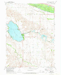
1971 · Johnson Lake
USGS Topo · 1:24,000
1971 · Elwood SW
USGS Topo · 1:24,000