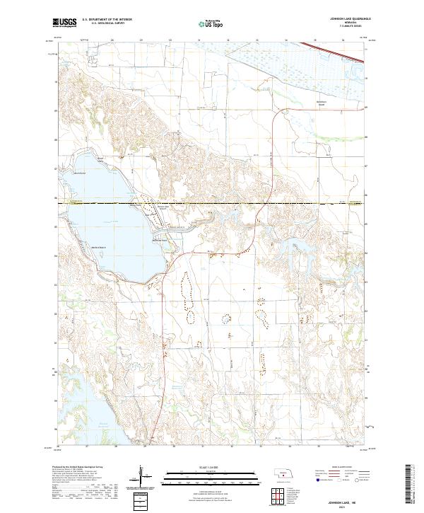
2021 Map of Johnson Lake
USGS Topo · Published 2021About this map
Johnson Lake dominates this central Nebraska landscape, straddling the border between Dawson and Gosper counties. The lake's shoreline is defined by numerous recreational and geographic markers, from Mallard Beach and Mallard Cove on the western banks to the residential and service infrastructure around Kilby Point and the East Shore. The map reveals a complex hydraulic system managed through the Tri-County Supply Canal, which feeds several local basins including Lauhy Reservoir, Bossung Lake, and the larger Elwood Reservoir to the south.
Find a feature on this map
41 named features on this map. Tap any name to fly to it.
Don’t see what you’re looking for? This feature index may not catch every label — zoom into the map to look around manually.
Map Details
Editions of this 2021 Johnson Lake Map
This is the sole edition of this map. No revisions or reprints were ever made.
Other maps of this area

1896 · Lexington
USGS Topo · 1:125,000

1899 · Lexington
USGS Topo · 1:125,000

1955 · Grand Island
USGS Topo · 1:250,000

1957 · Grand Island
USGS Topo · 1:250,000

1958 · Grand Island
USGS Topo · 1:250,000

1962 · Lexington West
USGS Topo · 1:24,000

1962 · Lexington East
USGS Topo · 1:24,000

1962 · Bertrand NW
USGS Topo · 1:24,000
1971 · Johnson Lake
USGS Topo · 1:24,000
1971 · Elwood SW
USGS Topo · 1:24,000