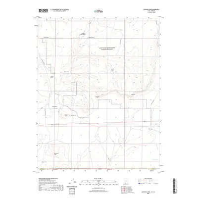
2020 Map of Johnson Lakes
USGS Topo · Published 2020About this map
Noel Ranch sits along the western edge of this rugged corridor where the high plateaus of southern Utah meet the Arizona border. The landscape is defined by the massive escarpments of the Vermillion Cliffs and Shinarump Cliffs, which create a complex network of drainage systems including Johnson Wash and Seaman Wash. This 2020 survey documents the protected wilderness within the Grand Staircase-Escalante National Monument, capturing a terrain of dramatic elevation shifts marked by features like Crescent Butte and Dishopan Hill. The presence of Johnson Lakes and The Seeps indicates the vital water sources that have supported local ranching operations and travel through the high desert. To the north and south, deep incisions like Flood Canyon and Glass Eye Canyon reveal the erosional forces that have shaped this portion of Kane County, while old routes such as Zion Rd and N Johnson Canyon Rd provide access through the break in the cliffs.
Find a feature on this map
26 named features on this map. Tap any name to fly to it.
Don’t see what you’re looking for? This feature index may not catch every label — zoom into the map to look around manually.
Map Details
Editions of this 2020 Johnson Lakes Map
This is the sole edition of this map. No revisions or reprints were ever made.
Other maps of this area

1886 · Kanab
USGS Topo · 1:250,000

1886 · Kaibab
USGS Topo · 1:250,000

1953 · Cedar City
USGS Topo · 1:250,000

1953 · Grand Canyon
USGS Topo · 1:250,000

1954 · Buckskin Gulch NW
USGS Topo · 1:24,000

1954 · Buckskin Gulch SW
USGS Topo · 1:24,000

1954 · Johnson SE
USGS Topo · 1:24,000

1954 · Johnson NE
USGS Topo · 1:24,000

1954 · Shinarump NW
USGS Topo · 1:24,000

1954 · Johnson SW
USGS Topo · 1:24,000