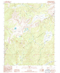
1994 Map of Johnson Peak
USGS Topo · Published 1994About this map
Sequoia National Park and the Inyo National Forest meet in this high-altitude landscape where the Golden Trout Wilderness preserves a network of alpine meadows and peaks. The topography is dominated by massive features such as the Boreal Plateau and Johnson Peak, which stands as a sentinel over Johnson Lake. A sophisticated drainage system carries water from the Rocky Basin Lakes through the Barigan Stringer toward the Kern River South Fork at the southern edge of the sheet.
Find a feature on this map
31 named features on this map. Tap any name to fly to it.
Don’t see what you’re looking for? This feature index may not catch every label — zoom into the map to look around manually.
Map Details
Editions of this 1994 Johnson Peak Map
2 editions found
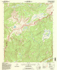
Other maps of this area

1905 · Olancha
USGS Topo · 1:125,000

1907 · Olancha
USGS Topo · 1:125,000

1907 · Mt. Whitney
USGS Topo · 1:125,000

1919 · Mt. Whitney
USGS Topo · 1:125,000

1937 · Mt. Whitney
USGS Topo · 1:125,000

1948 · Fresno
USGS Topo · 1:250,000

1955 · Fresno
USGS Topo · 1:250,000

1956 · Fresno
USGS Topo · 1:250,000

1956 · Mount Whitney
USGS Topo · 1:62,500

1956 · Olancha
USGS Topo · 1:62,500