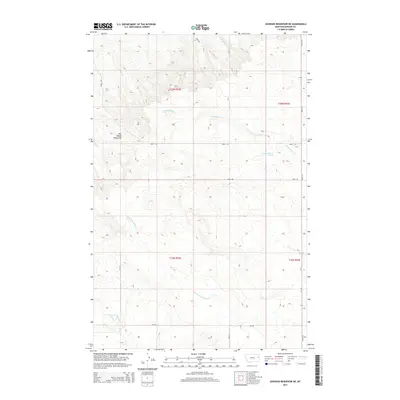
2014 Map of Johnson Reservoir NE
USGS Topo · Published 2014About this map
The Big Sheep Mountains dominate the western portion of this Dawson County landscape, marking a transition in the drainage patterns of eastern Montana. In this 2014 survey, the land is etched by a series of intermittent watercourses that defined early ranching boundaries, including Thirteenmile Cr and W Fork Pasture Cr. These drainages, along with Lower Sevenmile Cr further south, illustrate the complex hydrological network that sustains the region's cattle and agricultural economy.
Find a feature on this map
17 named features on this map. Tap any name to fly to it.
Don’t see what you’re looking for? This feature index may not catch every label — zoom into the map to look around manually.
Map Details
Editions of this 2014 Johnson Reservoir NE Map
This is the sole edition of this map. No revisions or reprints were ever made.
Other maps of this area

1909 · Glendive
USGS Topo · 1:250,000

1954 · Glendive
USGS Topo · 1:250,000

1957 · Glendive
USGS Topo · 1:250,000

1958 · Glendive
USGS Topo · 1:250,000

1972 · Clay Butte
USGS Topo · 1:24,000

1972 · Bloomfield
USGS Topo · 1:24,000

1972 · Stinking Coulee
USGS Topo · 1:24,000

1981 · Glendive
USGS Topo · 1:100,000

1981 · Sidney
USGS Topo · 1:100,000

1982 · Circle
USGS Topo · 1:100,000