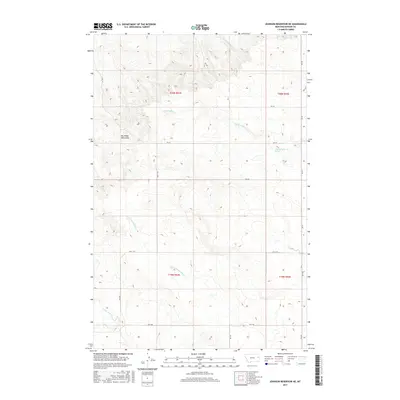
2017 Map of Johnson Reservoir NE
USGS Topo · Published 2017About this map
Big Sheep Mountains dominate the western horizon of this Dawson County landscape, where the high plains of eastern Montana are deeply dissected by a network of seasonal drainage systems. The map detail highlights a rugged topography defined by the winding paths of Thirteenmile Cr and Lower Sevenmile Cr, which carve through the arid terrain. Human presence is marked primarily by a sparse grid of rural roads such as RD 412 and RD 431, alongside larger thoroughfares like Hwy 470. The presence of the 20N53E31BCB_01 Spring indicates the importance of isolated water sources in this dry environment. This 2017 survey provides a precise view of the section lines and township boundaries, including t20n r52e and t19n r53e, that organize this open ranching country.
Find a feature on this map
20 named features on this map. Tap any name to fly to it.
Don’t see what you’re looking for? This feature index may not catch every label — zoom into the map to look around manually.
Map Details
Editions of this 2017 Johnson Reservoir NE Map
This is the sole edition of this map. No revisions or reprints were ever made.
Other maps of this area

1909 · Glendive
USGS Topo · 1:250,000

1954 · Glendive
USGS Topo · 1:250,000

1957 · Glendive
USGS Topo · 1:250,000

1958 · Glendive
USGS Topo · 1:250,000

1972 · Clay Butte
USGS Topo · 1:24,000

1972 · Bloomfield
USGS Topo · 1:24,000

1972 · Stinking Coulee
USGS Topo · 1:24,000

1981 · Glendive
USGS Topo · 1:100,000

1981 · Sidney
USGS Topo · 1:100,000

1982 · Circle
USGS Topo · 1:100,000