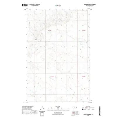
2020 Map of Johnson Reservoir NE
USGS Topo · Published 2020About this map
Big Sheep Mountains dominate the western portion of this Dawson County landscape, marking a prominent topographic break in an otherwise drainage-rich terrain. This 2020 survey illustrates a complex network of seasonal and perennial waterways that define the local geography, including the winding course of Thirteenmile Cr and the headwaters of Lower Sevenmile Cr. The map captures a largely rural expanse structured by the Public Land Survey System, with township boundaries such as t20n r52e and t19n r53e providing a grid-like framework over the natural relief. Transportation is confined to established corridors like Hwy 470 and a series of numbered section roads, including RD 412 and RD 431, which connect remote ranching or agricultural sites. Researchers can also locate specific water sources such as the 20N53E31BCB_01 Spring in the eastern hills.
Find a feature on this map
20 named features on this map. Tap any name to fly to it.
Don’t see what you’re looking for? This feature index may not catch every label — zoom into the map to look around manually.
Map Details
Editions of this 2020 Johnson Reservoir NE Map
This is the sole edition of this map. No revisions or reprints were ever made.
Other maps of this area

1909 · Glendive
USGS Topo · 1:250,000

1954 · Glendive
USGS Topo · 1:250,000

1957 · Glendive
USGS Topo · 1:250,000

1958 · Glendive
USGS Topo · 1:250,000

1972 · Clay Butte
USGS Topo · 1:24,000

1972 · Bloomfield
USGS Topo · 1:24,000

1972 · Stinking Coulee
USGS Topo · 1:24,000

1981 · Glendive
USGS Topo · 1:100,000

1981 · Sidney
USGS Topo · 1:100,000

1982 · Circle
USGS Topo · 1:100,000