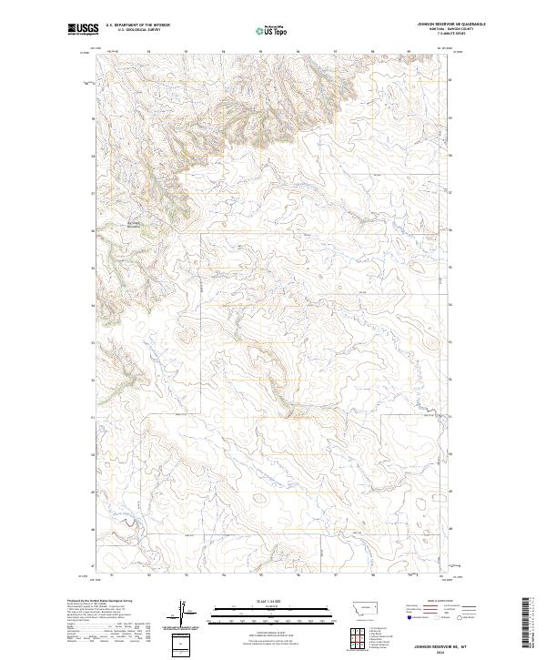
2024 Map of Johnson Reservoir NE
USGS Topo · Published 2024About this map
The Big Sheep Mountains dominate the western landscape of this Dawson County region, defining a topography marked by significant elevation changes and seasonal drainage systems. The area is characterized by an intricate network of coulees and creeks, including Thirteenmile Creek and the meandering path of Lower Sevenmile Creek, which carve through the high plains. This map illustrates the transition from the upland reaches of the mountains down toward the riparian corridors of North Fork Deer Creek in the south.
Find a feature on this map
19 named features on this map. Tap any name to fly to it.
Don’t see what you’re looking for? This feature index may not catch every label — zoom into the map to look around manually.
Map Details
Editions of this 2024 Johnson Reservoir NE Map
This is the sole edition of this map. No revisions or reprints were ever made.
Other maps of this area

1909 · Glendive
USGS Topo · 1:250,000

1954 · Glendive
USGS Topo · 1:250,000

1957 · Glendive
USGS Topo · 1:250,000

1958 · Glendive
USGS Topo · 1:250,000

1972 · Clay Butte
USGS Topo · 1:24,000

1972 · Bloomfield
USGS Topo · 1:24,000

1972 · Stinking Coulee
USGS Topo · 1:24,000

1981 · Glendive
USGS Topo · 1:100,000

1981 · Sidney
USGS Topo · 1:100,000

1982 · Circle
USGS Topo · 1:100,000