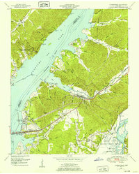
1950 Map of Johnsonville
USGS Topo · Published 1952About this map
Kentucky Lake dominates the landscape following the impoundment of the Tennessee River, creating a dramatic shift in the local geography of Humphreys and Benton Counties. This transition is most evident at Johnsonville (Abandoned), where the original river town was displaced by rising waters, leading to the establishment of New Johnsonville further inland. The heavy industrial footprint of the era is anchored by the Johnsonville Steam Plant and its associated infrastructure, including a switchyard, substation, and the Hickman-Lockhart Bridge.
Find a feature on this map
79 named features on this map. Tap any name to fly to it.
Don’t see what you’re looking for? This feature index may not catch every label — zoom into the map to look around manually.
Map Details
Editions of this 1950 Johnsonville Map
4 editions found

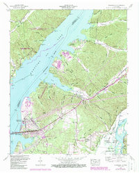
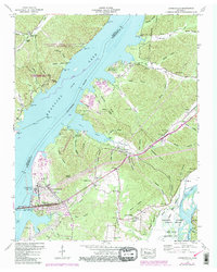
Other maps of this area

1936 · Hurricane Mills
USGS Topo · 1:24,000

1936 · Camden
USGS Topo · 1:24,000

1936 · Big Sandy
USGS Topo · 1:24,000

1936 · Halls Creek
USGS Topo · 1:24,000

1936 · Johnsonville
USGS Topo · 1:24,000

1936 · Harmon Creek
USGS Topo · 1:24,000

1936 · Rockport
USGS Topo · 1:24,000

1936 · Waverly
USGS Topo · 1:24,000

1936 · Hustburg
USGS Topo · 1:24,000

1949 · Harmon Creek
USGS Topo · 1:24,000