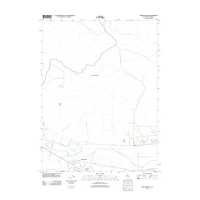
2012 Map of Johnstonville
USGS Topo · Published 2012About this map
Johnstonville and the eastern outskirts of Susanville are depicted in this 2012 study, where the High Desert meets the Honey Lake Valley. The drainage patterns of the Susan River are clearly defined as the waterway meanders through the valley floor, joined by irrigation and drainage features like Jensen Slu and Sand Slough. To the north, the terrain rises sharply toward the prominence of Antelope Mountain, while the lowlands are punctuated by infrastructure including the Susanville Municipal Airport. Local genealogists will find the Johnstonville Cem located near the town center. The map also records the rural road network including Center Rd and Leavitt Ln, providing a detailed look at the agricultural and residential transition at Leavitt near the shores of Lake Leavitt and the Off-Stream Reservoir.
Find a feature on this map
30 named features on this map. Tap any name to fly to it.
Don’t see what you’re looking for? This feature index may not catch every label — zoom into the map to look around manually.
Map Details
Editions of this 2012 Johnstonville Map
This is the sole edition of this map. No revisions or reprints were ever made.
Other maps of this area

1886 · Honey Lake
USGS Topo · 1:250,000

1891 · Honey Lake
USGS Topo · 1:250,000

1893 · Honey Lake
USGS Topo · 1:250,000

1954 · Susanville
USGS Topo · 1:62,500

1954 · Litchfield
USGS Topo · 1:62,500

1954 · Karlo
USGS Topo · 1:62,500

1954 · Fredonyer Peak
USGS Topo · 1:62,500

1955 · Westwood
USGS Topo · 1:250,000

1958 · Westwood
USGS Topo · 1:250,000

1959 · Westwood
USGS Topo · 1:250,000