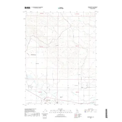
2018 Map of Johnstonville
USGS Topo · Published 2018About this map
Johnstonville and the eastern edge of Susanville anchor this 2018 topographic survey of the Honey Lake Valley region. The landscape transitions from the high peaks of Antelope Mtn and the secluded Hidden Valley in the north to the managed water systems of the Susan River basin. This modern map illustrates a complex network of agricultural and civic infrastructure, including the Lake Leavitt Inlet Canal, the Susanville Municipal Airport, and several local waterways like Lassen Cr and Sand Slough. Genealogists and local historians can locate established sites such as the Diamond Crest Cem and the small settlement of Leavitt. The presence of several named canyons and mountains, such as Rices Canyon, provides a detailed look at the varied terrain that shapes this part of Lassen County.
Find a feature on this map
41 named features on this map. Tap any name to fly to it.
Don’t see what you’re looking for? This feature index may not catch every label — zoom into the map to look around manually.
Map Details
Editions of this 2018 Johnstonville Map
This is the sole edition of this map. No revisions or reprints were ever made.
Other maps of this area

1886 · Honey Lake
USGS Topo · 1:250,000

1891 · Honey Lake
USGS Topo · 1:250,000

1893 · Honey Lake
USGS Topo · 1:250,000

1954 · Susanville
USGS Topo · 1:62,500

1954 · Litchfield
USGS Topo · 1:62,500

1954 · Karlo
USGS Topo · 1:62,500

1954 · Fredonyer Peak
USGS Topo · 1:62,500

1955 · Westwood
USGS Topo · 1:250,000

1958 · Westwood
USGS Topo · 1:250,000

1959 · Westwood
USGS Topo · 1:250,000