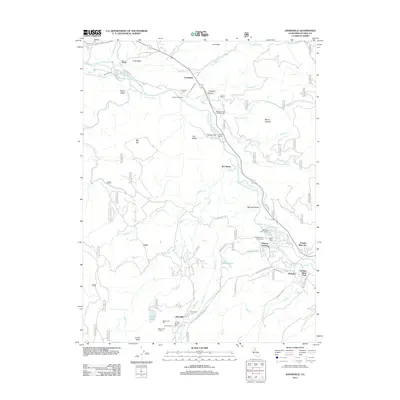
2012 Map of Johnsville
USGS Topo · Published 2012About this map
Johnsville and its mining heritage anchor this study of the northern Sierra Nevada, where the legacy of gold extraction is clearly marked by the Plumas Eureka Mill and the Eureka Tunnel. The landscape is defined by the steep descent from Eureka Peak and Mount Jackson into the Mohawk Valley, through which the Middle Fork Feather River flows. A string of settlements including Cromberg, Sloat, and Mohawk follow the river and the road network, while sites like Twentymile House point to the area's history as a transportation corridor. The map details a transition from industrial mining roots to a recreation-based landscape, evidenced by the cluster of camps and resorts near the Feather River Inn and the serene Madora Lake.
Find a feature on this map
63 named features on this map. Tap any name to fly to it.
Don’t see what you’re looking for? This feature index may not catch every label — zoom into the map to look around manually.
Map Details
Editions of this 2012 Johnsville Map
This is the sole edition of this map. No revisions or reprints were ever made.
Other maps of this area

1891 · Downieville
USGS Topo · 1:125,000

1893 · Downieville
USGS Topo · 1:125,000

1895 · Downieville
USGS Topo · 1:125,000

1896 · Downieville
USGS Topo · 1:125,000

1897 · Downieville
USGS Topo · 1:125,000

1937 · Blairsden
USGS Topo · 1:48,000

1943 · Blairsden
USGS Topo · 1:62,500
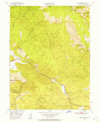
1950 · Spring Garden
USGS Topo · 1:24,000
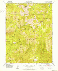
1951 · Mt. Fillmore
USGS Topo · 1:24,000
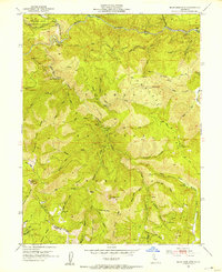
1951 · Blue Nose Mtn
USGS Topo · 1:24,000