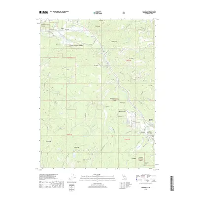
2018 Map of Johnsville
USGS Topo · Published 2018About this map
Johnsville and the surrounding mining landscape of Plumas National Forest center this 2018 survey of the Sierra Nevada's high country. The map documents a deep history of extraction, clearly marking the locations of the Eureka Tunnel and Mammoth Tunnel south of town, as well as the Johnsville Cemetery. This region's transition from a hard-rock mining hub to a recreation destination is visible through the network of trails like the Eureka Peak Loop Trail and the Madora Lake Loop Trail.
Find a feature on this map
92 named features on this map. Tap any name to fly to it.
Don’t see what you’re looking for? This feature index may not catch every label — zoom into the map to look around manually.
Map Details
Editions of this 2018 Johnsville Map
This is the sole edition of this map. No revisions or reprints were ever made.
Other maps of this area

1891 · Downieville
USGS Topo · 1:125,000

1893 · Downieville
USGS Topo · 1:125,000

1895 · Downieville
USGS Topo · 1:125,000

1896 · Downieville
USGS Topo · 1:125,000

1897 · Downieville
USGS Topo · 1:125,000

1937 · Blairsden
USGS Topo · 1:48,000

1943 · Blairsden
USGS Topo · 1:62,500
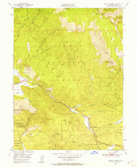
1950 · Spring Garden
USGS Topo · 1:24,000
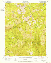
1951 · Mt. Fillmore
USGS Topo · 1:24,000
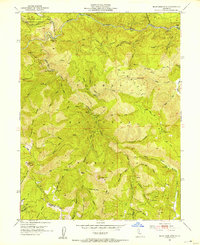
1951 · Blue Nose Mtn
USGS Topo · 1:24,000