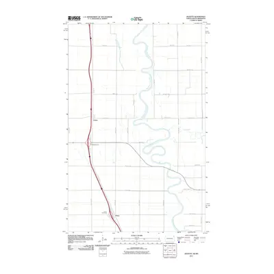
2011 Map of Joliette
USGS Topo · Published 2011About this map
The Red River of the North defines the landscape of this Red River Valley quadrangle, winding in sharp oxbows along the border between North Dakota and Minnesota. The settlement of Joliette is the primary focal point on the western bank, situated at the intersection of local routes and the Joliette Interchange. Further south, the map identifies the small community of Fleece near the Carlisle Interchange.
Find a feature on this map
37 named features on this map. Tap any name to fly to it.
Don’t see what you’re looking for? This feature index may not catch every label — zoom into the map to look around manually.
Map Details
Editions of this 2011 Joliette Map
This is the sole edition of this map. No revisions or reprints were ever made.
Other maps of this area

1939 · Drayton
USGS Topo · 1:62,500

1939 · Glasston
USGS Topo · 1:62,500

1939 · Pembina
USGS Topo · 1:62,500

1941 · Drayton
USGS Topo · 1:62,500

1941 · Glasston
USGS Topo · 1:62,500

1941 · Bathgate
USGS Topo · 1:62,500

1941 · Pembina
USGS Topo · 1:62,500

1952 · Thief River Falls
USGS Topo · 1:250,000

1956 · Thief River Falls
USGS Topo · 1:250,000

1957 · Thief River Falls
USGS Topo · 1:250,000