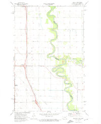
1972 Map of Joliette
USGS Topo · Published 1974About this map
The Red River meanders tightly through the fertile Red River Valley, defining the state boundary between North Dakota and Minnesota. This early 1970s survey captures the agricultural landscape of Joliette and nearby Mc Arthur during a period of infrastructure modernization. The Burlington Northern railroad runs parallel to the interstate corridor, while the presence of the Mc Arthur Interchange, Joliette Interchange, and Carlisle Interchange indicates the development of high-speed transportation routes through Pembina County.
Find a feature on this map
21 named features on this map. Tap any name to fly to it.
Don’t see what you’re looking for? This feature index may not catch every label — zoom into the map to look around manually.
Map Details
Editions of this 1972 Joliette Map
2 editions found
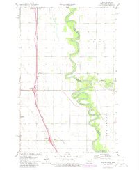
Other maps of this area

1939 · Drayton
USGS Topo · 1:62,500

1939 · Glasston
USGS Topo · 1:62,500

1939 · Pembina
USGS Topo · 1:62,500

1941 · Drayton
USGS Topo · 1:62,500

1941 · Glasston
USGS Topo · 1:62,500

1941 · Bathgate
USGS Topo · 1:62,500

1941 · Pembina
USGS Topo · 1:62,500

1952 · Thief River Falls
USGS Topo · 1:250,000

1956 · Thief River Falls
USGS Topo · 1:250,000

1957 · Thief River Falls
USGS Topo · 1:250,000