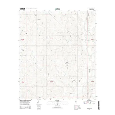
2015 Map of Jonathan
USGS Topo · Published 2015About this map
Hillman and the nearby Hillman Cem anchor the southeastern portion of this Greene County landscape, reflecting a quiet rural settlement pattern defined by timber and small-stream drainage. The area is marked by a network of local names along the water, from Kittrell Mill Cr in the north to the wide basin of Big Creek. A distinct landform known as The Ridge separates the central drainage of Indian Cr from the western flow of Big Oktibbee Cr. The map captures the small community hubs of Bradley and Jonathan during a period when the infrastructure relied heavily on local routes like Old MS-24 and Jonathan Rd. This 2015 survey provides a clear view of the family-named roads and cemeteries that define the heritage of this Pine Belt region.
Find a feature on this map
72 named features on this map. Tap any name to fly to it.
Don’t see what you’re looking for? This feature index may not catch every label — zoom into the map to look around manually.
Map Details
Editions of this 2015 Jonathan Map
This is the sole edition of this map. No revisions or reprints were ever made.
Other maps of this area

1947 · Beaumont
USGS Topo · 1:62,500

1949 · Beaumont
USGS Topo · 1:62,500

1953 · Hattiesburg
USGS Topo · 1:250,000

1958 · Hattiesburg
USGS Topo · 1:250,000

1963 · Brewer
USGS Topo · 1:24,000

1964 · Clark
USGS Topo · 1:24,000

1964 · Avera
USGS Topo · 1:24,000

1972 · Leakesville
USGS Topo · 1:24,000
1972 · Vernal
USGS Topo · 1:24,000

1973 · Jonathan
USGS Topo · 1:24,000