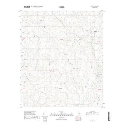
2018 Map of Jonathan
USGS Topo · Published 2018About this map
Hillman and Bradley anchor this rural Greene County landscape, where family settlements are interspersed with a complex network of creeks and timberlands. The topography is defined by a prominent elevated spine known simply as The Ridge, which separates the drainages of Big Oktibbe Creek and Brushy Creek. This modern survey reveals a persistent rural infrastructure, where local roads such as Tung Oil Road and Smith Dale Farm Road point toward the area's agricultural and silvicultural history.
Find a feature on this map
66 named features on this map. Tap any name to fly to it.
Don’t see what you’re looking for? This feature index may not catch every label — zoom into the map to look around manually.
Map Details
Editions of this 2018 Jonathan Map
This is the sole edition of this map. No revisions or reprints were ever made.
Other maps of this area

1947 · Beaumont
USGS Topo · 1:62,500

1949 · Beaumont
USGS Topo · 1:62,500

1953 · Hattiesburg
USGS Topo · 1:250,000

1958 · Hattiesburg
USGS Topo · 1:250,000

1963 · Brewer
USGS Topo · 1:24,000

1964 · Clark
USGS Topo · 1:24,000

1964 · Avera
USGS Topo · 1:24,000

1972 · Leakesville
USGS Topo · 1:24,000
1972 · Vernal
USGS Topo · 1:24,000

1973 · Jonathan
USGS Topo · 1:24,000