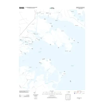
2013 Map of Jones Bay
USGS Topo · Published 2013About this map
Hobucken sits at the northern edge of this coastal landscape, serving as a primary point of human settlement amidst a complex network of wetlands and tidal inlets. The Hobucken Bridge and Bills Creek Landing highlight the critical water-access infrastructure of Pamlico County, where the land fragmentally dissolves into Jones Bay and the Atlantic Ocean. The geography is defined by numerous family-named and descriptive points, such as Persimmon Tree Point, Deadman Point, and Maiden Point, suggesting a long history of local navigation and shoreline identification. Aviation infrastructure is represented by the Bay Creek Airport near Gale Cr, while the interior remains a mosaic of marsh and drainage features like Ditch Creek and Doll Creek. This survey captures the intricate, low-lying coastal margin where the local economy and travel are inextricably tied to the fluctuating tide and the protected waters of the bays.
Find a feature on this map
95 named features on this map. Tap any name to fly to it.
Don’t see what you’re looking for? This feature index may not catch every label — zoom into the map to look around manually.
Map Details
Editions of this 2013 Jones Bay Map
This is the sole edition of this map. No revisions or reprints were ever made.
Other maps of this area

1948 · Oriental
USGS Topo · 1:24,000

1949 · Point Of Marsh
USGS Topo · 1:24,000

1950 · Point Of Marsh
USGS Topo · 1:24,000

1950 · Vandemere
USGS Topo · 1:24,000

1950 · Lowland
USGS Topo · 1:24,000

1950 · South Creek
USGS Topo · 1:24,000

1950 · Jones Bay
USGS Topo · 1:24,000

1951 · Brant Island
USGS Topo · 1:24,000

1951 · Broad Creek
USGS Topo · 1:24,000

1951 · Pamlico Point
USGS Topo · 1:24,000