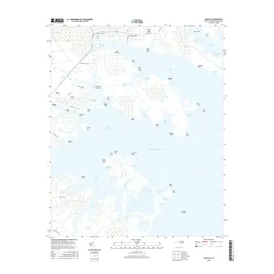
2016 Map of Jones Bay
USGS Topo · Published 2016About this map
Hobucken and Mesic anchor this coastal landscape where the land dissolves into the complex marshes and sounds of Pamlico County. The Intracoastal Waterway cuts a straight path through the northern reach of the map, crossing beneath the Hobucken Bridge near Goose Creek Island. This area is defined by its intricate shoreline, where family-named landmarks like Sanders Point and Spencer Point overlook the transition from tidal creeks to the open Atlantic Ocean.
Find a feature on this map
75 named features on this map. Tap any name to fly to it.
Don’t see what you’re looking for? This feature index may not catch every label — zoom into the map to look around manually.
Map Details
Editions of this 2016 Jones Bay Map
This is the sole edition of this map. No revisions or reprints were ever made.
Other maps of this area

1948 · Oriental
USGS Topo · 1:24,000

1949 · Point Of Marsh
USGS Topo · 1:24,000

1950 · Point Of Marsh
USGS Topo · 1:24,000

1950 · Vandemere
USGS Topo · 1:24,000

1950 · Lowland
USGS Topo · 1:24,000

1950 · South Creek
USGS Topo · 1:24,000

1950 · Jones Bay
USGS Topo · 1:24,000

1951 · Brant Island
USGS Topo · 1:24,000

1951 · Broad Creek
USGS Topo · 1:24,000

1951 · Pamlico Point
USGS Topo · 1:24,000