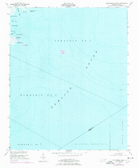
2022 Map of Jones Bay
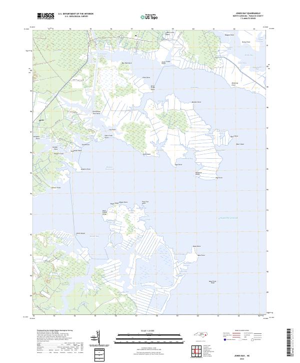
USGS Topo · Published 2022This historical map portrays the area of Jones Bay in 2022, primarily covering Pamlico County. Featuring a scale of 1:24000, this map provides a highly detailed snapshot of the terrain, roads, buildings, counties, and historical landmarks in the Jones Bay region at the time. Published in 2022, it is the sole known edition of this map.
Find a feature on this map
85 named features on this map. Tap any name to fly to it.
Don’t see what you’re looking for? This feature index may not catch every label — zoom into the map to look around manually.
Map Details
Editions of this 2022 Jones Bay Map
This is the sole edition of this map. No revisions or reprints were ever made.
Historical Maps of Hobucken Through Time
15 maps found
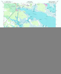
1950 Jones Bay
Pamlico County, NC
1950 Lowland
Pamlico County, NC
1950 Upper Broad Creek
Pamlico County, NC
1951 Little Fishing Point
Pamlico County, NC
1951 Upper Broad Creek
Pamlico County, NC
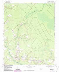
1969 Reelsboro
Pamlico County, NC
1994 Upper Broad Creek
Pamlico County, NC
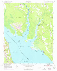
2000 Little Fishing Point
Pamlico County, NC
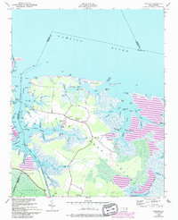
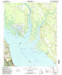
2000 Lowland
Pamlico County, NC
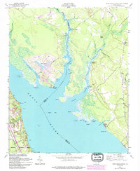
2000 Reelsboro
Pamlico County, NC
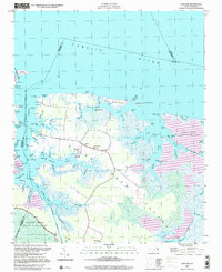
2022 Jones Bay
Pamlico County, NC
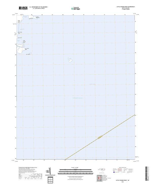
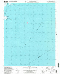
2022 Little Fishing Point
Pamlico County, NC
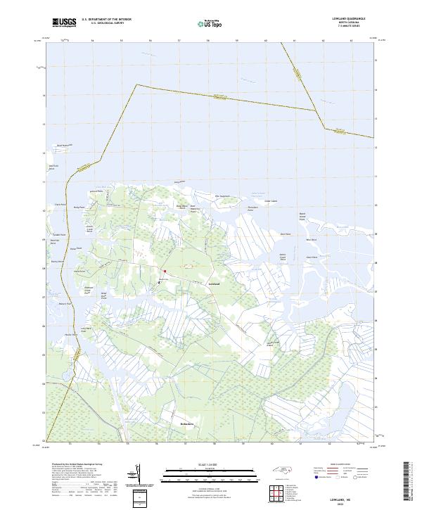
2022 Lowland
Pamlico County, NC
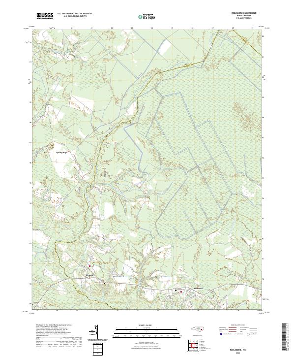
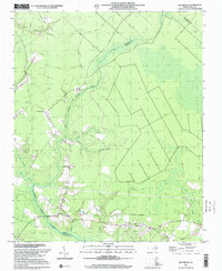
2022 Reelsboro
Pamlico County, NC
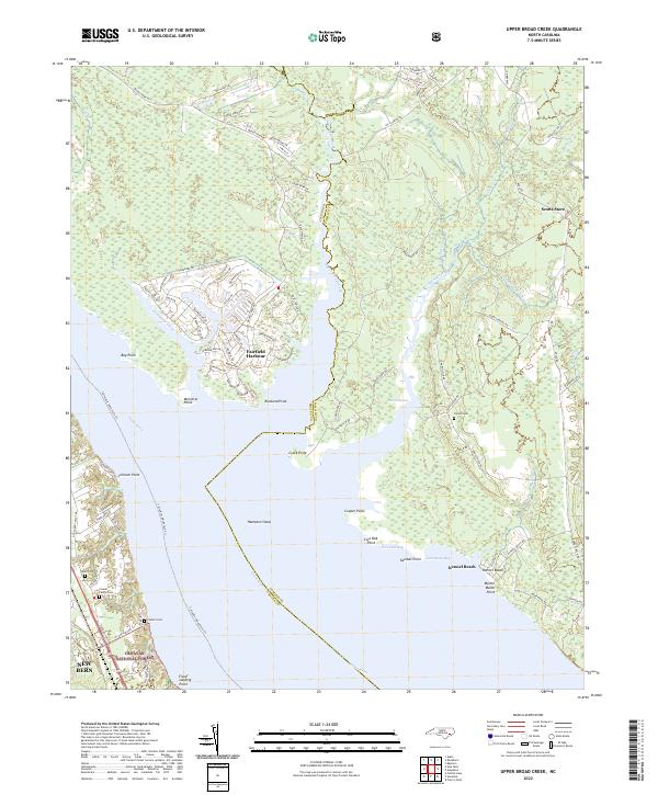
2022 Upper Broad Creek
Pamlico County, NC