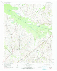
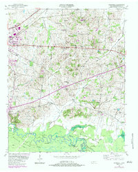
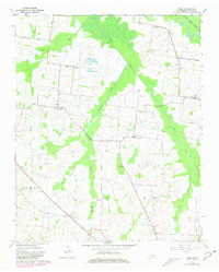
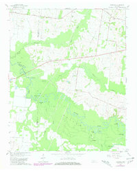
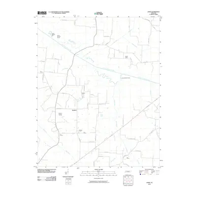
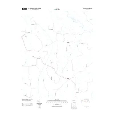
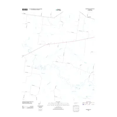
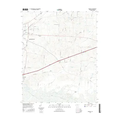
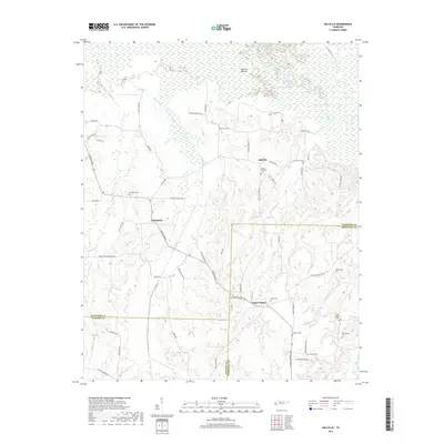
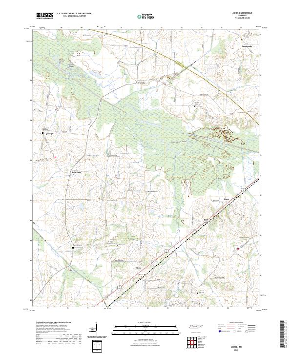
1961 Map of Jones
USGS Topo · Published 1991About this map
The South Fork Forked Deer River dominates this West Tennessee landscape, winding through a wide floodplain where Sandy Slough and Big Eddy mark the river's historical movements. This 1961 survey documents a rural agricultural region characterized by a dense network of family-named roads and community landmarks. Settlements like Belle Eagle and Owl City serve as anchors for local life, supported by numerous small institutions such as Bradford Sch and Wortham Chapel.
Find a feature on this map
55 named features on this map. Tap any name to fly to it.
Don’t see what you’re looking for? This feature index may not catch every label — zoom into the map to look around manually.
Map Details
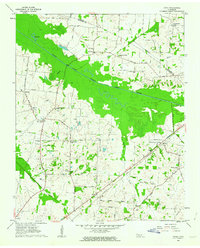
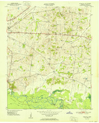
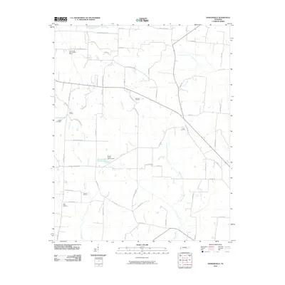
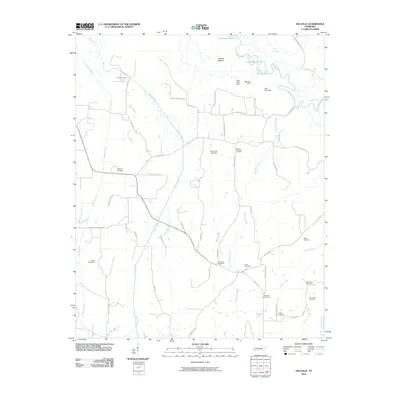
Editions of this 1961 Jones Map
2 editions found
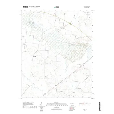
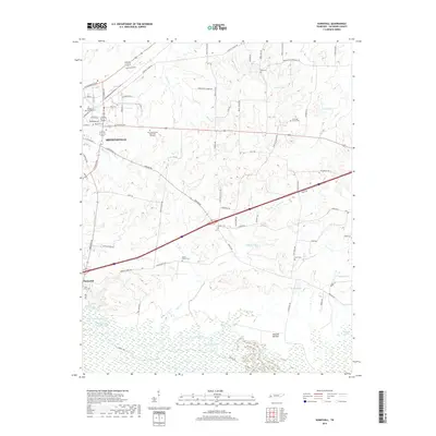
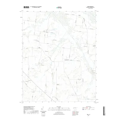
Historical Maps of Holly Grove Through Time
39 maps found
1936 Waterville
Haywood County, TN
1940 Waterville
Haywood County, TN
1950 Sunnyhill
Haywood County, TN
1951 Sunnyhill
Haywood County, TN
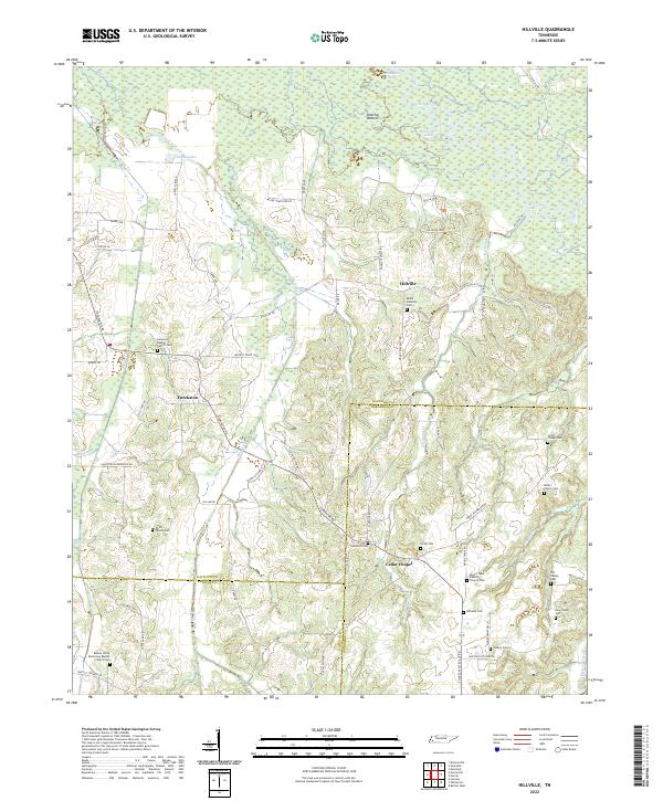
1959 Hillville
Haywood County, TN
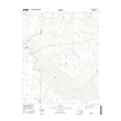
1961 Jones
Haywood County, TN
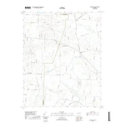
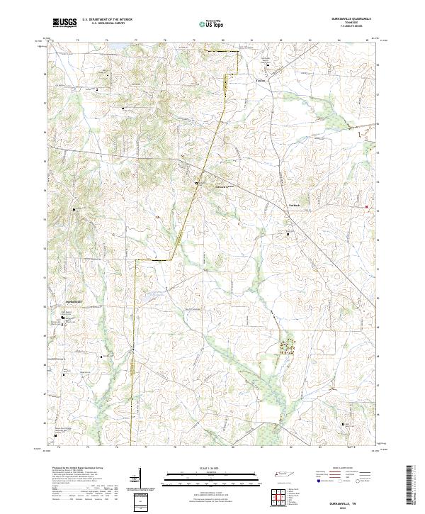
1964 Durhamville
Haywood County, TN
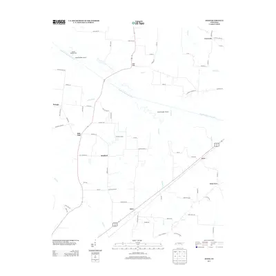
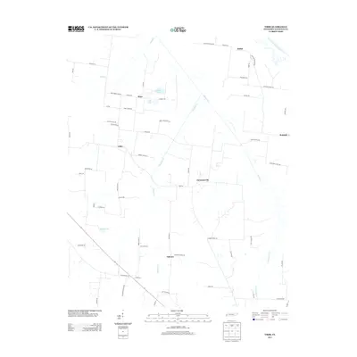
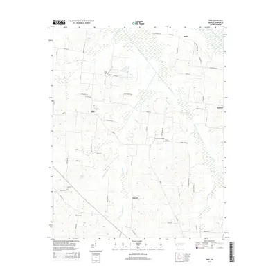
1964 Tibbs
Haywood County, TN
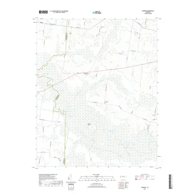
1964 Turnpike
Haywood County, TN
2010 Durhamville
Haywood County, TN
2010 Hillville
Haywood County, TN
2010 Jones
Haywood County, TN
2010 Sunnyhill
Haywood County, TN
2010 Tibbs
Haywood County, TN

2010 Turnpike
Haywood County, TN
2013 Durhamville
Haywood County, TN
2013 Hillville
Haywood County, TN
2013 Jones
Haywood County, TN
2013 Sunnyhill
Haywood County, TN
2013 Tibbs
Haywood County, TN
2013 Turnpike
Haywood County, TN
2016 Durhamville
Haywood County, TN
2016 Hillville
Haywood County, TN
2016 Jones
Haywood County, TN
2016 Sunnyhill
Haywood County, TN
2016 Tibbs
Haywood County, TN
2016 Turnpike
Haywood County, TN
2019 Durhamville
Haywood County, TN
2019 Hillville
Haywood County, TN
2019 Jones
Haywood County, TN
2019 Sunnyhill
Haywood County, TN
2019 Tibbs
Haywood County, TN
2019 Turnpike
Haywood County, TN
2022 Durhamville
Haywood County, TN
2022 Hillville
Haywood County, TN
2022 Jones
Haywood County, TN
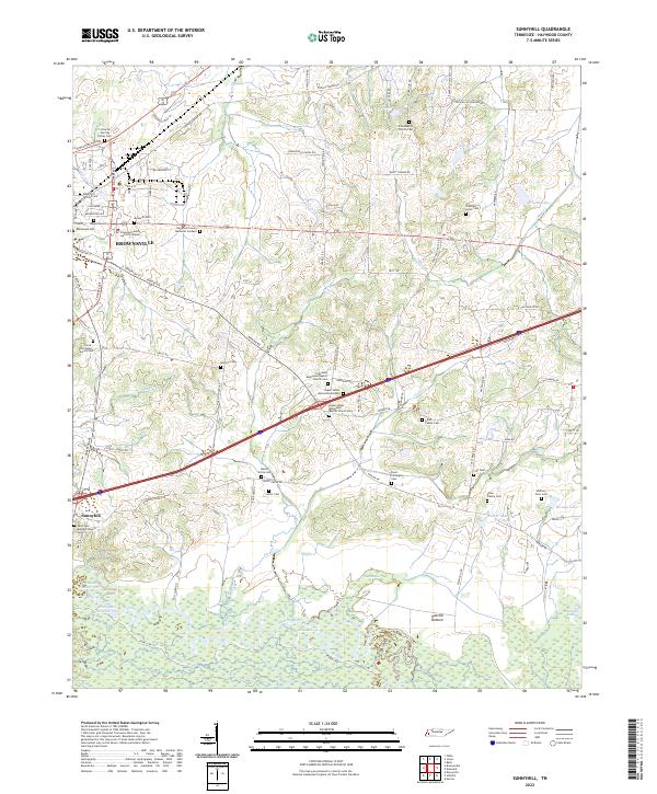
2022 Sunnyhill
Haywood County, TN

2022 Tibbs
Haywood County, TN
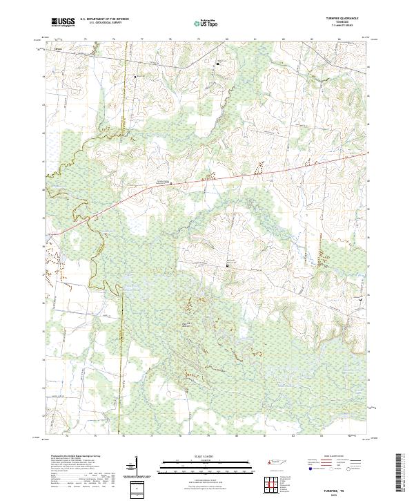
2022 Turnpike
Haywood County, TN