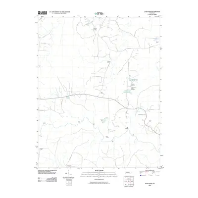
2010 Map of Jones Knob
USGS Topo · Published 2010About this map
The plateau landscape of Fentress County is defined by a network of river crossings and family burial grounds in this 2010 topographic record. Numerous river fords, including Ashburn Ford, Turner Ford, Hall Ford, and Jones Ford, highlight a local geography still deeply connected to its natural watercourses. The area is notable for its high density of small cemeteries, such as Springs Chapel Cemetery, Friends Chapel Cemetery, and Wattenbarger Cemetery, which serve as vital landmarks for genealogists tracing family histories in this part of Tennessee. This era shows a mix of traditional land use and private water management, evidenced by features like Gene Rogers Lake and the S Thomas Burnett Lake Number Two. The terrain is marked by distinct depressions and elevations like Cross Hollow, Big Hollow, and the eponymous Jones Knob, providing a clear view of the region's physical character.
Find a feature on this map
53 named features on this map. Tap any name to fly to it.
Don’t see what you’re looking for? This feature index may not catch every label — zoom into the map to look around manually.
Map Details
Editions of this 2010 Jones Knob Map
This is the sole edition of this map. No revisions or reprints were ever made.
Other maps of this area

1895 · Wartburg
USGS Topo · 1:125,000

1896 · Wartburg
USGS Topo · 1:125,000

1897 · Standingstone
USGS Topo · 1:125,000

1898 · Standingstone
USGS Topo · 1:125,000

1935 · Isoline
USGS Topo · 1:24,000

1935 · Clarkrange
USGS Topo · 1:24,000

1936 · Hebbertsburg
USGS Topo · 1:24,000

1936 · Fox Creek
USGS Topo · 1:24,000

1936 · Twin Bridges
USGS Topo · 1:24,000

1936 · Jones Knob
USGS Topo · 1:24,000