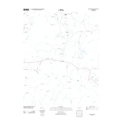
2013 Map of Jones Knob
USGS Topo · Published 2013About this map
Banner Springs and Roslin anchor this section of the Cumberland Plateau, where the landscape is defined by the intricate headwaters of the N Prong Clear Fork and its numerous tributaries. The area's transit history is visible through a network of river crossings including Jones Ford, Ashburn Ford, and Turner Ford, which historically linked the small settlements of Jonesville and the surrounding highlands. This 2013 survey illustrates a rural economy shifting toward private water management, evidenced by several named reservoirs such as the Land of Lakes Catfish Farm Lake and S Thomas Burnett Lake Number Two. From the high point at Jones Knob in the east to the deep indentations of Big Hollow and Cross Hollow, the map provides a clear picture of how topography dictated the placement of homesteads along roads like Virgil Beaty Rd and Ernest Hall Rd.
Find a feature on this map
95 named features on this map. Tap any name to fly to it.
Don’t see what you’re looking for? This feature index may not catch every label — zoom into the map to look around manually.
Map Details
Editions of this 2013 Jones Knob Map
This is the sole edition of this map. No revisions or reprints were ever made.
Other maps of this area

1895 · Wartburg
USGS Topo · 1:125,000

1896 · Wartburg
USGS Topo · 1:125,000

1897 · Standingstone
USGS Topo · 1:125,000

1898 · Standingstone
USGS Topo · 1:125,000

1935 · Isoline
USGS Topo · 1:24,000

1935 · Clarkrange
USGS Topo · 1:24,000

1936 · Hebbertsburg
USGS Topo · 1:24,000

1936 · Fox Creek
USGS Topo · 1:24,000

1936 · Twin Bridges
USGS Topo · 1:24,000

1936 · Jones Knob
USGS Topo · 1:24,000