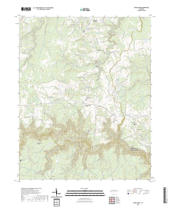
2022 Map of Jones Knob
USGS Topo · Published 2022About this map
The Cumberland Plateau landscape in Fentress and Cumberland counties is defined by a dense network of creek branches and hollows that feed into the Obed Wild And Scenic River. Small rural settlements like Jonesville, Banner Springs, and Roslin serve as local anchors, while the terrain is marked by numerous family and community burial grounds, including Springs Chapel Cem, Westfelt Cem, and the Jonesville Community Baptist Church Cem. The rugged geography is further detailed by landmarks such as Long Point and Jones Knob, showing how the early roads and property lines followed the natural contours of the plateau.
Find a feature on this map
105 named features on this map. Tap any name to fly to it.
Don’t see what you’re looking for? This feature index may not catch every label — zoom into the map to look around manually.
Map Details
Editions of this 2022 Jones Knob Map
This is the sole edition of this map. No revisions or reprints were ever made.
Other maps of this area

1895 · Wartburg
USGS Topo · 1:125,000

1896 · Wartburg
USGS Topo · 1:125,000

1897 · Standingstone
USGS Topo · 1:125,000

1898 · Standingstone
USGS Topo · 1:125,000

1935 · Isoline
USGS Topo · 1:24,000

1935 · Clarkrange
USGS Topo · 1:24,000

1936 · Hebbertsburg
USGS Topo · 1:24,000

1936 · Fox Creek
USGS Topo · 1:24,000

1936 · Twin Bridges
USGS Topo · 1:24,000

1936 · Jones Knob
USGS Topo · 1:24,000