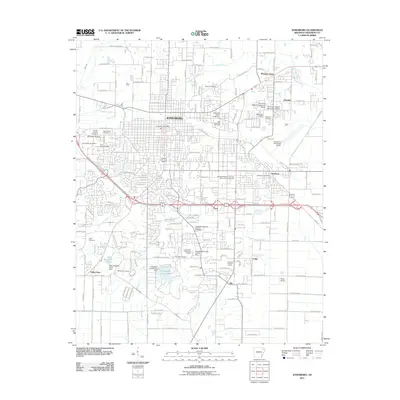
2011 Map of Jonesboro
USGS Topo · Published 2011About this map
Jonesboro serves as the focal point of this 2011 survey, showcasing the expansive reach of Arkansas State University and the surrounding residential growth of Nettleton and Glendale. The map captures a well-developed urban and suburban landscape, where community infrastructure like the Jonesboro Municipal Airport and the Northeast District Livestock Show and Fairgrounds sits alongside significant local heritage sites. A high density of burial grounds, including Woodlawn Cemetery, Temple of Israel Cemetery, and Jonesboro Memorial Park Cemetery, provides a detailed record for genealogical research.
Find a feature on this map
93 named features on this map. Tap any name to fly to it.
Don’t see what you’re looking for? This feature index may not catch every label — zoom into the map to look around manually.
Map Details
Editions of this 2011 Jonesboro Map
This is the sole edition of this map. No revisions or reprints were ever made.
Other maps of this area

1935 · Sedgwick
USGS Topo · 1:62,500

1939 · Weiner
USGS Topo · 1:62,500

1939 · Jonesboro
USGS Topo · 1:62,500

1940 · Dee
USGS Topo · 1:62,500

1953 · Memphis
USGS Topo · 1:250,000

1956 · Memphis
USGS Topo · 1:250,000

1958 · Dee
USGS Topo · 1:62,500

1958 · Jonesboro
USGS Topo · 1:62,500

1959 · Weiner
USGS Topo · 1:62,500

1959 · Sedgwick
USGS Topo · 1:62,500