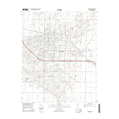
2014 Map of Jonesboro
USGS Topo · Published 2014About this map
Crowleys Ridge defines the geological character of this northeastern Arkansas landscape, where the elevation rises above the surrounding Delta. This 2014 survey documents the continued expansion of Jonesboro, showing the integration of former outlying communities like Nettleton and Valley View into the modern urban fabric. The map is a valuable resource for genealogists, recording numerous burial sites including Temple of Israel Cem, Mt Sinai Cem, and Woodlawn Cem.
Find a feature on this map
62 named features on this map. Tap any name to fly to it.
Don’t see what you’re looking for? This feature index may not catch every label — zoom into the map to look around manually.
Map Details
Editions of this 2014 Jonesboro Map
This is the sole edition of this map. No revisions or reprints were ever made.
Other maps of this area

1935 · Sedgwick
USGS Topo · 1:62,500

1939 · Weiner
USGS Topo · 1:62,500

1939 · Jonesboro
USGS Topo · 1:62,500

1940 · Dee
USGS Topo · 1:62,500

1953 · Memphis
USGS Topo · 1:250,000

1956 · Memphis
USGS Topo · 1:250,000

1958 · Dee
USGS Topo · 1:62,500

1958 · Jonesboro
USGS Topo · 1:62,500

1959 · Weiner
USGS Topo · 1:62,500

1959 · Sedgwick
USGS Topo · 1:62,500