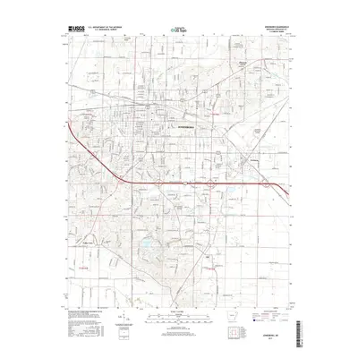
2017 Map of Jonesboro
USGS Topo · Published 2017About this map
Jonesboro sits at the heart of this northeast Arkansas landscape, a regional hub defined by its relationship with the unique geology of Crowleys Ridge. This 2017 survey details the city's modern footprint, from the sprawling campus of Arkansas State Univ in the north to the industrial corridors and residential expansion near Nettleton in the southeast. The area is characterized by a high concentration of memorial sites and religious landmarks, including the Temple of Israel Cem, Mount Sinai Cem, and Woodlawn Cem, which provide significant value for local genealogical research.
Find a feature on this map
159 named features on this map. Tap any name to fly to it.
Don’t see what you’re looking for? This feature index may not catch every label — zoom into the map to look around manually.
Map Details
Editions of this 2017 Jonesboro Map
This is the sole edition of this map. No revisions or reprints were ever made.
Other maps of this area

1935 · Sedgwick
USGS Topo · 1:62,500

1939 · Weiner
USGS Topo · 1:62,500

1939 · Jonesboro
USGS Topo · 1:62,500

1940 · Dee
USGS Topo · 1:62,500

1953 · Memphis
USGS Topo · 1:250,000

1956 · Memphis
USGS Topo · 1:250,000

1958 · Dee
USGS Topo · 1:62,500

1958 · Jonesboro
USGS Topo · 1:62,500

1959 · Weiner
USGS Topo · 1:62,500

1959 · Sedgwick
USGS Topo · 1:62,500