
1947 Map of Jonesboro
USGS Topo · Published 1954About this map
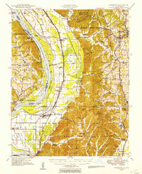
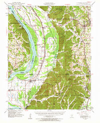
The Mississippi River dominates this mid-century landscape, carving a complex boundary between Illinois and Missouri. The river's influence is evident in the extensive Levee systems and the presence of numerous island formations like Devils Island and Picayune Island. East of the floodplains, the terrain transitions into the heavily wooded Shawnee National Forest and Union County State Forest, where fire protection is maintained via the Atwood Lookout Tower and Bass Hill Lookout Tower.
Find a feature on this map
114 named features on this map. Tap any name to fly to it.
Don’t see what you’re looking for? This feature index may not catch every label — zoom into the map to look around manually.
Map Details
Editions of this 1947 Jonesboro Map
3 editions found
Other maps of this area

1918 · Altenburg
USGS Topo · 1:62,500

1920 · Jonesboro
USGS Topo · 1:62,500

1920 · Dongola
USGS Topo · 1:62,500

1922 · Carbondale
USGS Topo · 1:62,500

1922 · Cape Girardeau
USGS Topo · 1:62,500

1923 · Dongola
USGS Topo · 1:62,500

1923 · Jonesboro
USGS Topo · 1:62,500

1924 · Cape Girardeau
USGS Topo · 1:62,500

1924 · Alto Pass
USGS Topo · 1:62,500

1925 · Altenburg
USGS Topo · 1:62,500