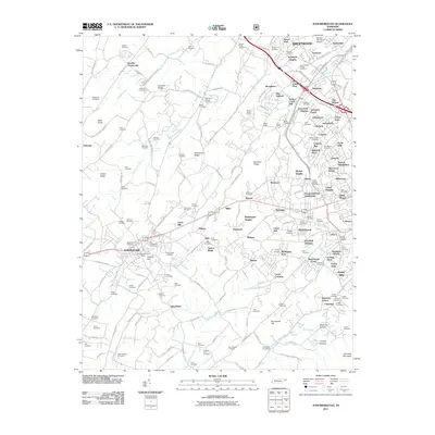
2011 Map of Jonesborough
USGS Topo · Published 2011About this map
Keebler Crossroads and the older agricultural hamlets of Washington County meet the modern expansion of Johnson City on this 2011 survey. The landscape is defined by its ridge-and-valley topography, where Chestnut Ridge and Persimmon Ridge dictate the flow of several waterways including Reedy Creek and Boones Creek. For the genealogist or local historian, this map is exceptionally dense with family-named burial grounds like the Carr-Crumley-Krouse Cemetery and May-Peoples Cemetery, alongside landmarks such as Knob Creek Mill and the Indian Ridge Tunnel. The map captures a moment when traditional landmarks like Susong Spring and the Boone Trail are surrounded by a growing network of residential developments such as Sequoyah Heights and Avondale Forest, highlighting the ongoing transformation of the Tennessee countryside near Jonesborough Post Office.
Find a feature on this map
189 named features on this map. Tap any name to fly to it.
Don’t see what you’re looking for? This feature index may not catch every label — zoom into the map to look around manually.
Map Details
Editions of this 2011 Jonesborough Map
This is the sole edition of this map. No revisions or reprints were ever made.
Other maps of this area

1891 · Roan Mountain
USGS Topo · 1:125,000

1892 · Greeneville
USGS Topo · 1:125,000

1894 · Roan Mountain
USGS Topo · 1:125,000

1896 · Greeneville
USGS Topo · 1:125,000

1904 · Roan Mountain
USGS Topo · 1:125,000

1904 · Greeneville
USGS Topo · 1:125,000

1935 · Sullivan Gardens
USGS Topo · 1:24,000

1935 · Leesburg
USGS Topo · 1:24,000

1935 · Erwin
USGS Topo · 1:24,000

1935 · Spurgeon
USGS Topo · 1:24,000