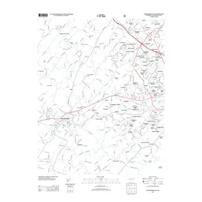
2013 Map of Jonesborough
USGS Topo · Published 2013About this map
Jonesborough serves as the focal point of this 2013 survey, which illustrates the modern landscape of Washington County before recent urban expansion. The terrain is defined by a series of prominent ridges, including Archer Ridge, Chestnut Ridge, and Persimmon Ridge, which channel water into creeks like Boones Cr and Little Limestone Cr. The map shows a transition from rural agricultural land, marked by landmarks like Peppermint Farms and the Center Field Airport, to the dense suburban growth of North Johnson City. Cultural and community history is preserved through the locations of numerous historic congregations, such as Hales Chapel, Highland Church, and Mount Zion Church. The map also captures infrastructure details like the Indian Ridge Tunnel and named natural water sources including Beech Spring and Susong Spring, providing a comprehensive look at the area's development and natural hydrology.
Find a feature on this map
404 named features on this map. Tap any name to fly to it.
Don’t see what you’re looking for? This feature index may not catch every label — zoom into the map to look around manually.
Map Details
Editions of this 2013 Jonesborough Map
This is the sole edition of this map. No revisions or reprints were ever made.
Other maps of this area

1891 · Roan Mountain
USGS Topo · 1:125,000

1892 · Greeneville
USGS Topo · 1:125,000

1894 · Roan Mountain
USGS Topo · 1:125,000

1896 · Greeneville
USGS Topo · 1:125,000

1904 · Roan Mountain
USGS Topo · 1:125,000

1904 · Greeneville
USGS Topo · 1:125,000

1935 · Sullivan Gardens
USGS Topo · 1:24,000

1935 · Leesburg
USGS Topo · 1:24,000

1935 · Erwin
USGS Topo · 1:24,000

1935 · Spurgeon
USGS Topo · 1:24,000