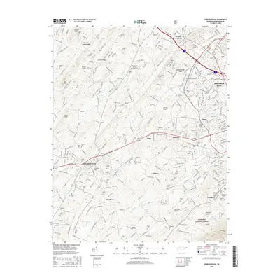
2016 Map of Jonesborough
USGS Topo · Published 2016About this map
Jonesborough sits at the heart of this landscape, surrounded by a dense network of family cemeteries and rural crossroads that speak to the deep ancestral roots of Washington County. The transition from the historic town center toward North Johnson City and Johnson City reveals the modern expansion of these communities along the ridges. Topographical features like Buffalo Ridge, Archer Ridge, and Persimmon Ridge divide the drainage basins of Boones Creek and Little Limestone Creek, while the Cherokee National Forest anchors the southern boundary at Cherokee Mountain.
Find a feature on this map
312 named features on this map. Tap any name to fly to it.
Don’t see what you’re looking for? This feature index may not catch every label — zoom into the map to look around manually.
Map Details
Editions of this 2016 Jonesborough Map
This is the sole edition of this map. No revisions or reprints were ever made.
Other maps of this area

1891 · Roan Mountain
USGS Topo · 1:125,000

1892 · Greeneville
USGS Topo · 1:125,000

1894 · Roan Mountain
USGS Topo · 1:125,000

1896 · Greeneville
USGS Topo · 1:125,000

1904 · Roan Mountain
USGS Topo · 1:125,000

1904 · Greeneville
USGS Topo · 1:125,000

1935 · Sullivan Gardens
USGS Topo · 1:24,000

1935 · Leesburg
USGS Topo · 1:24,000

1935 · Erwin
USGS Topo · 1:24,000

1935 · Spurgeon
USGS Topo · 1:24,000