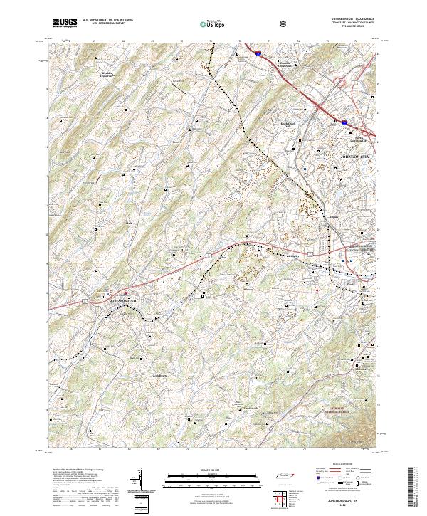
2022 Map of Jonesborough
USGS Topo · Published 2022About this map
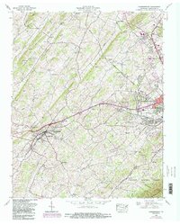
Jonesborough anchors this survey of Washington County, showcasing its development alongside the eastern edge of Johnson City. The landscape transitions from the dense urban and cemetery clusters of the city toward the more dispersed crossroads of the county, such as Keebler Crossroads and Crouch Crossroad. A notable concentration of family and community burial grounds, including Mountain Home National Cem and the Boones Creek Christian Church Cem, provides a detailed record for genealogical study.
Find a feature on this map
294 named features on this map. Tap any name to fly to it.
Don’t see what you’re looking for? This feature index may not catch every label — zoom into the map to look around manually.
Map Details
Editions of this 2022 Jonesborough Map
This is the sole edition of this map. No revisions or reprints were ever made.