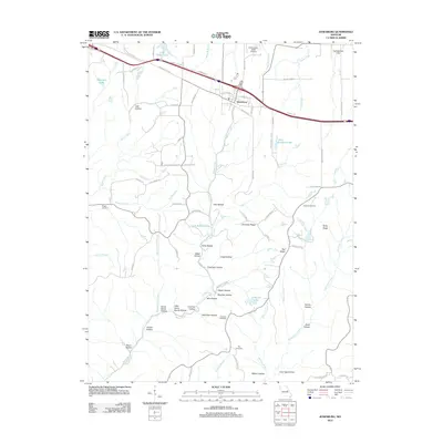
2012 Map of Jonesburg
USGS Topo · Published 2012About this map
Jonesburg serves as the primary hub of activity in this part of Montgomery County, where the corridor formed by Railroad St and Interstate 70 shapes the local economy. The surrounding landscape is defined by an intricate network of drainages and named hollows, such as Wolf Den Hollow and Hog Pen Hollow, which feed into major waterways like Massie Creek and Wilsons Branch. These valleys provide a clear look at the traditional rural land divisions and the placement of family cemeteries, including Wright Cemetery and Coleman Cemetery.
Find a feature on this map
86 named features on this map. Tap any name to fly to it.
Don’t see what you’re looking for? This feature index may not catch every label — zoom into the map to look around manually.
Map Details
Editions of this 2012 Jonesburg Map
This is the sole edition of this map. No revisions or reprints were ever made.
Other maps of this area

1890 · Hermann
USGS Topo · 1:125,000

1936 · Hermann
USGS Topo · 1:48,000

1942 · Hermann
USGS Topo · 1:62,500

1942 · New Florence
USGS Topo · 1:62,500

1943 · Warrenton
USGS Topo · 1:62,500

1945 · Hermann
USGS Topo · 1:62,500

1945 · Warrenton
USGS Topo · 1:62,500

1946 · New Florence
USGS Topo · 1:62,500

1948 · Washington
USGS Topo · 1:62,500

1949 · Saint Louis
USGS Topo · 1:250,000