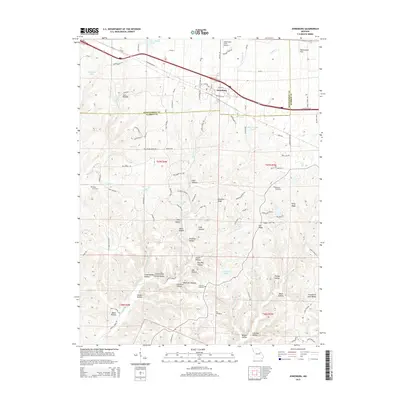
2015 Map of Jonesburg
USGS Topo · Published 2015About this map
Jonesburg serves as the central hub of this Missouri landscape, situated where the Montgomery Co and Warren Co boundary meets a network of historic thoroughfares like W Booneslick Rd and Us-40. The terrain is characterized by a dense system of hollows and ridges that descend toward the watercourses of Massie Cr and Little Lost Cr. The area reflects a long-established rural community, evidenced by family-named landmarks and secluded burial grounds such as Wright Cemetery and Coleman Cemetery.
Find a feature on this map
106 named features on this map. Tap any name to fly to it.
Don’t see what you’re looking for? This feature index may not catch every label — zoom into the map to look around manually.
Map Details
Editions of this 2015 Jonesburg Map
This is the sole edition of this map. No revisions or reprints were ever made.
Other maps of this area

1890 · Hermann
USGS Topo · 1:125,000

1936 · Hermann
USGS Topo · 1:48,000

1942 · Hermann
USGS Topo · 1:62,500

1942 · New Florence
USGS Topo · 1:62,500

1943 · Warrenton
USGS Topo · 1:62,500

1945 · Hermann
USGS Topo · 1:62,500

1945 · Warrenton
USGS Topo · 1:62,500

1946 · New Florence
USGS Topo · 1:62,500

1948 · Washington
USGS Topo · 1:62,500

1949 · Saint Louis
USGS Topo · 1:250,000