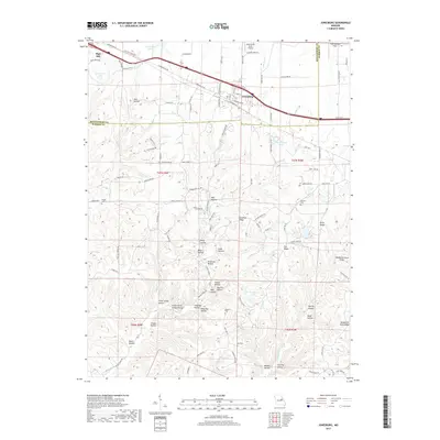
2017 Map of Jonesburg
USGS Topo · Published 2017About this map
Jonesburg and High Hill anchor this section of the Montgomery-Warren county line, where the modern transport corridor follows the historical path of the Booneslick Rd. The BNSF Railway parallels this main artery, connecting the settlements through a landscape defined by an intricate network of drainages and named ridges. To the south, the terrain becomes increasingly complex around Massas Creek and its many tributaries, such as Wilsons Br and Cullen Br.
Find a feature on this map
119 named features on this map. Tap any name to fly to it.
Don’t see what you’re looking for? This feature index may not catch every label — zoom into the map to look around manually.
Map Details
Editions of this 2017 Jonesburg Map
This is the sole edition of this map. No revisions or reprints were ever made.
Other maps of this area

1890 · Hermann
USGS Topo · 1:125,000

1936 · Hermann
USGS Topo · 1:48,000

1942 · Hermann
USGS Topo · 1:62,500

1942 · New Florence
USGS Topo · 1:62,500

1943 · Warrenton
USGS Topo · 1:62,500

1945 · Hermann
USGS Topo · 1:62,500

1945 · Warrenton
USGS Topo · 1:62,500

1946 · New Florence
USGS Topo · 1:62,500

1948 · Washington
USGS Topo · 1:62,500

1949 · Saint Louis
USGS Topo · 1:250,000