Loading...
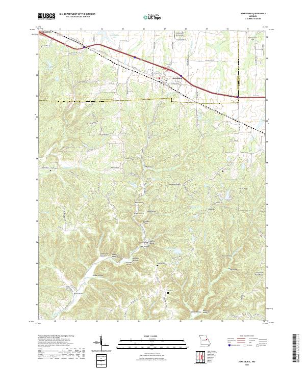
Loading map...2021 Map of Jonesburg
USGS Topo · Published 2021About this map
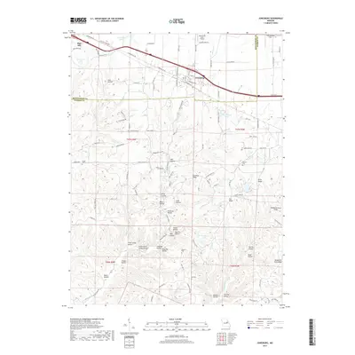
Jonesburg and High Hill anchor the northern landscape of this Missouri quadrangle, situated along the historic path of Booneslick Rd. The terrain south of the interstate is a complex network of ridges and deep hollows, such as Donahue Ridge, Pea Ridge, and the distinctively named Tightsqueeze Field. This area is characterized by family-named landmarks and small cemeteries including Wright Cem and Scachse Cem, which suggest long-standing rural settlement patterns.
Find a feature on this map
117 named features on this map. Tap any name to fly to it.
Don’t see what you’re looking for? This feature index may not catch every label — zoom into the map to look around manually.
Map Details
Date Portrayed2021
Date Published2021
PublisherU.S. Geological Survey
Map TypeTopographic
Scale1:24,000
Physical Dimensions24 x 29 inches
Editions of this 2021 Jonesburg Map
This is the sole edition of this map. No revisions or reprints were ever made.
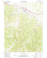
Historical Maps of Jonesburg Through Time
5 maps found
Featured Locations
Source Details
SourceU.S. Geological Survey
CopyrightPublic Domain