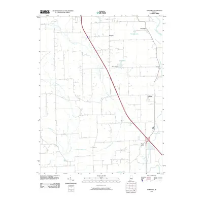
2010 Map of Jonesville
USGS Topo · Published 2010About this map
Waynesville and Jonesville anchor this 2010 landscape, where the agricultural grid of Bartholomew County meets the meandering path of the East Fork White River. The river corridor defines the eastern edge of the quadrangle, creating a complex drainage network that includes the John Thompson County Ditch, Thompson Slough, and Peters Lake. This area demonstrates a high density of small named clusters and historic junctions typical of Indiana's rural development, such as Rosstown, Bobtown, and Peters Switch.
Find a feature on this map
43 named features on this map. Tap any name to fly to it.
Don’t see what you’re looking for? This feature index may not catch every label — zoom into the map to look around manually.
Map Details
Editions of this 2010 Jonesville Map
This is the sole edition of this map. No revisions or reprints were ever made.
Other maps of this area

1942 · Franklin
USGS Topo · 1:125,000

1942 · Columbus
USGS Topo · 1:125,000

1948 · New Bellsville
USGS Topo · 1:24,000

1948 · Waymansville
USGS Topo · 1:24,000

1953 · Cincinnati
USGS Topo · 1:250,000

1953 · Indianapolis
USGS Topo · 1:250,000

1956 · Indianapolis
USGS Topo · 1:250,000

1956 · Vincennes
USGS Topo · 1:250,000

1956 · Louisville
USGS Topo · 1:250,000

1957 · Indianapolis
USGS Topo · 1:250,000