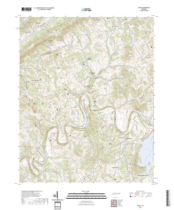
2022 Map of Joppa
USGS Topo · Published 2022About this map
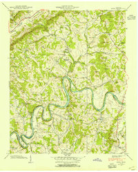
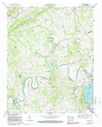
Richland Valley and the winding Holston River define this portion of East Tennessee at the boundary of Grainger and Jefferson counties. The landscape is marked by a deep concentration of family burial grounds and community landmarks, such as Buffalo Springs Cem, Joppa Cem, and Massengill Cem, which provide significant data for genealogical research. The river’s course is characterized by numerous geographical features like Horse Shoe Bend and Buffalo Shoals, alongside a series of named islands including Smoky Island and Julian Nance Island. Local industry and rural infrastructure are represented by the Massengill Mill and the Landing at River's Edge Airport. The presence of Indian Cave near the riverbank suggests long-standing natural points of interest that have shaped the local geography alongside established settlements like Joppa, Rutledge, and Buffalo Springs.
Find a feature on this map
221 named features on this map. Tap any name to fly to it.
Don’t see what you’re looking for? This feature index may not catch every label — zoom into the map to look around manually.
Map Details
Editions of this 2022 Joppa Map
This is the sole edition of this map. No revisions or reprints were ever made.
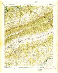
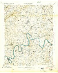
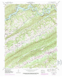
Historical Maps of Joppa Through Time
16 maps found

1935 Avondale
Grainger County, TN
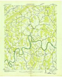
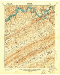
1935 Joppa
Grainger County, TN

1935 Tate Springs
Grainger County, TN
1936 Dutch Valley
Grainger County, TN
1938 Avondale
Grainger County, TN
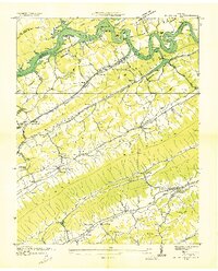
1938 Joppa
Grainger County, TN
1939 Avondale
Grainger County, TN
1939 Joppa
Grainger County, TN
1941 Dutch Valley
Grainger County, TN
1942 Dutch Valley
Grainger County, TN
1960 Avondale
Grainger County, TN
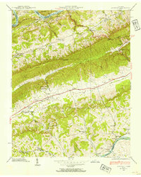
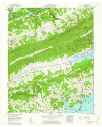
1961 Joppa
Grainger County, TN
1979 Avondale
Grainger County, TN
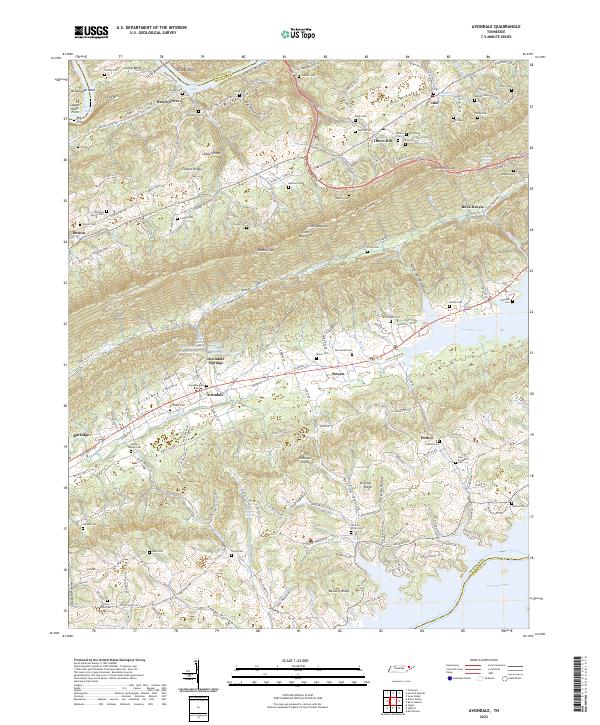
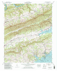
2022 Avondale
Grainger County, TN
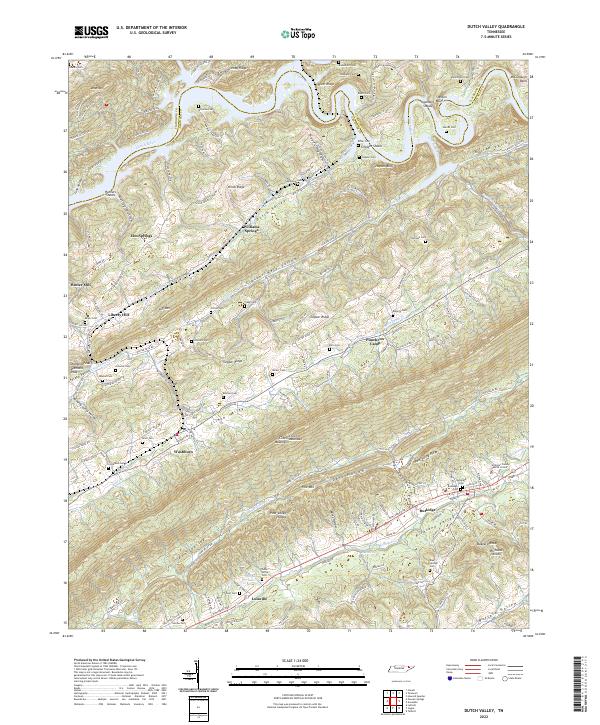
2022 Dutch Valley
Grainger County, TN
2022 Joppa
Grainger County, TN