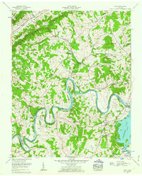
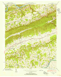
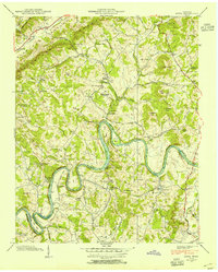
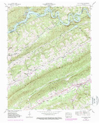
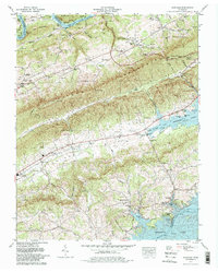
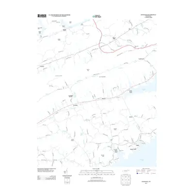
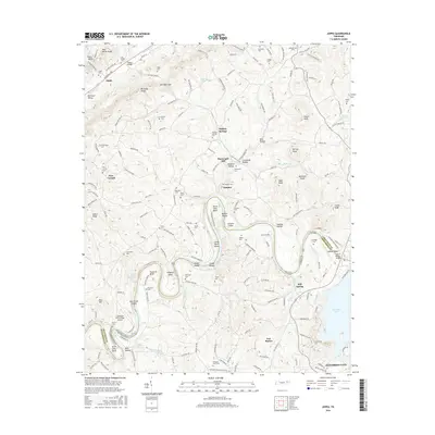
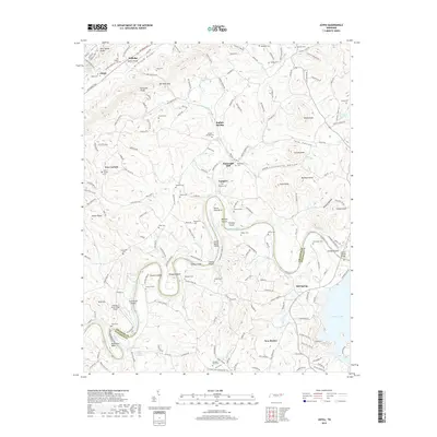
1961 Map of Joppa
USGS Topo · Published 1962About this map
The Holston River winds through the heart of the Tennessee Valley in this 1961 survey, carving dramatic oxbows such as Horse Shoe Bend and Mule Shoe Bend. Along its banks, the landscape is defined by riverine features like Julian Nance Island and Smoky Island, while the northern terrain rises into the Poor Valley Knobs. This era shows a rural community anchored by small settlements and family landmarks, including Tampico and Buffalo Springs, where the Buffalo Springs Game Farm and Buffalo Sch were established.
Find a feature on this map
69 named features on this map. Tap any name to fly to it.
Don’t see what you’re looking for? This feature index may not catch every label — zoom into the map to look around manually.
Map Details
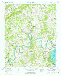
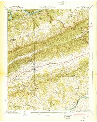
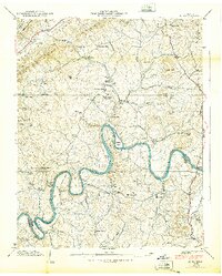
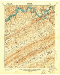
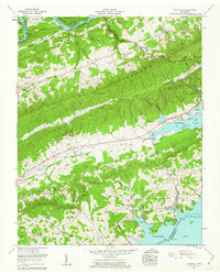
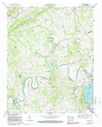
Editions of this 1961 Joppa Map
3 editions found
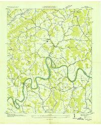
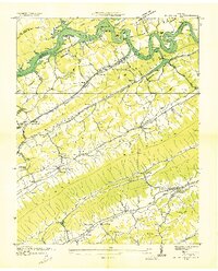
Historical Maps of Jefferson City Through Time
28 maps found

1935 Avondale
Grainger County, TN
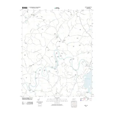
1935 Joppa
Grainger County, TN

1935 Tate Springs
Grainger County, TN
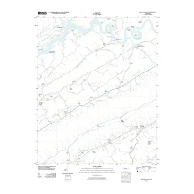
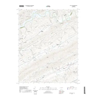
1936 Dutch Valley
Grainger County, TN
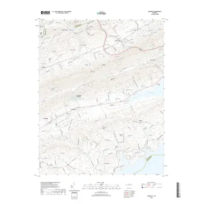
1938 Avondale
Grainger County, TN
1938 Joppa
Grainger County, TN
1939 Avondale
Grainger County, TN
1939 Joppa
Grainger County, TN
1941 Dutch Valley
Grainger County, TN
1942 Dutch Valley
Grainger County, TN
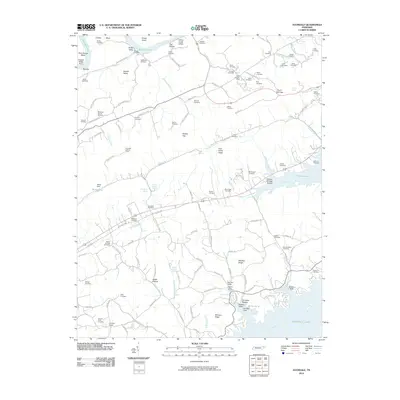
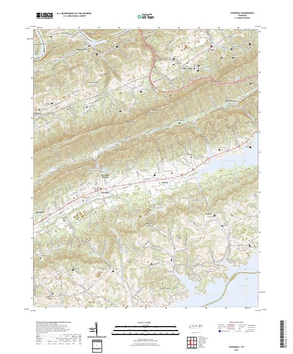
1960 Avondale
Grainger County, TN
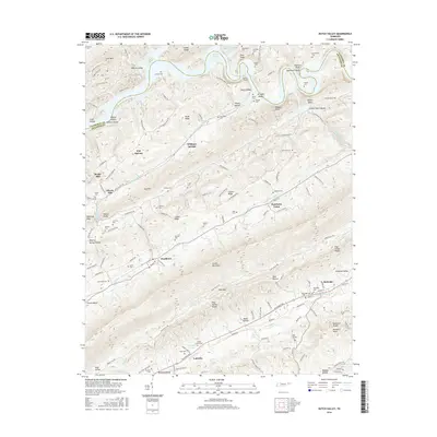
1961 Joppa
Grainger County, TN
1979 Avondale
Grainger County, TN
2010 Avondale
Grainger County, TN
2010 Dutch Valley
Grainger County, TN
2010 Joppa
Grainger County, TN
2013 Avondale
Grainger County, TN
2013 Dutch Valley
Grainger County, TN
2013 Joppa
Grainger County, TN
2016 Avondale
Grainger County, TN
2016 Dutch Valley
Grainger County, TN
2016 Joppa
Grainger County, TN
2019 Avondale
Grainger County, TN
2019 Dutch Valley
Grainger County, TN
2019 Joppa
Grainger County, TN
2022 Avondale
Grainger County, TN
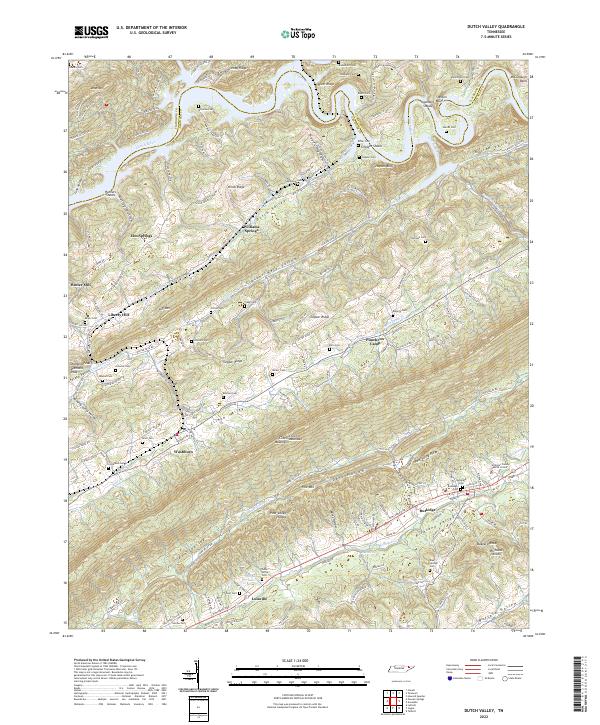
2022 Dutch Valley
Grainger County, TN
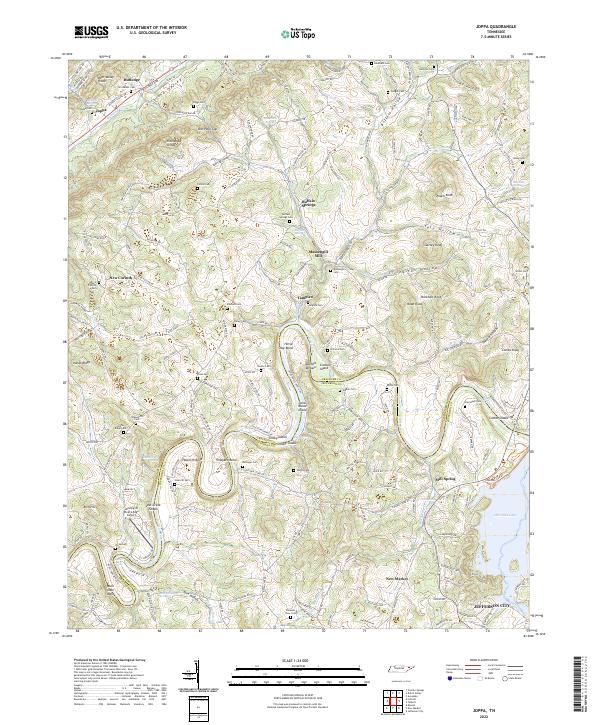
2022 Joppa
Grainger County, TN