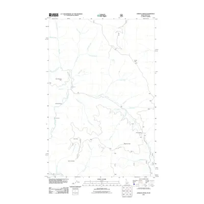
2011 Map of Jordan Creek
USGS Topo · Published 2011About this map
North Fork Coeur d'Alene River defines the western edge of this drainage-heavy landscape on the Idaho-Montana border. The area is characterized by high-elevation landmarks such as East Cathedral Peak, Cathedral Rocks, and Divide Peak, which overlook a complex network of seasonal and year-round waterways. Historical land use is evidenced by Jordan Camp and the presence of Jordan Springs, while the southeastern corner is anchored by the prominent Shoshone Peak. Access into these higher reaches is shown via established routes like Spion Kop Rd and Shoshone Creek Rd. The convergence of Jordan Creek and the Lost Fork indicates a classic mountain valley hydrological pattern, where numerous named tributaries like Calamity Creek and Tsuga Creek feed into the larger river systems that shaped the region's geography.
Find a feature on this map
32 named features on this map. Tap any name to fly to it.
Don’t see what you’re looking for? This feature index may not catch every label — zoom into the map to look around manually.
Map Details
Editions of this 2011 Jordan Creek Map
This is the sole edition of this map. No revisions or reprints were ever made.
Other maps of this area

1909 · Cataldo
USGS Topo · 1:125,000

1911 · Cataldo
USGS Topo · 1:125,000

1911 · Priest Lake
USGS Topo · 1:250,000

1913 · Priest Lake
USGS Topo · 1:250,000

1920 · Libby
USGS Topo · 1:125,000

1930 · Libby
USGS Topo · 1:125,000

1932 · Libby
USGS Topo · 1:125,000

1932 · Trout Creek
USGS Topo · 1:125,000

1935 · Trout Creek
USGS Topo · 1:125,000

1936 · Trout Creek
USGS Topo · 1:125,000