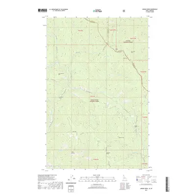
2020 Map of Jordan Creek
USGS Topo · Published 2020About this map
The North Fork Coeur d'Alene River winds through the western edge of this landscape, defining a steep drainage system within the Coeur d'Alene National Forest. The map captures a high-elevation backcountry where the Shoshone Range meets the Bitterroot Mountains along the border of Idaho and Montana. Notable high points like Shoshone Peak and Divide Peak anchor the ridgelines, while the terrain falls away into deeply carved drainages such as Lost Cabin Gulch and the headwaters of Jordan Creek.
Find a feature on this map
57 named features on this map. Tap any name to fly to it.
Don’t see what you’re looking for? This feature index may not catch every label — zoom into the map to look around manually.
Map Details
Editions of this 2020 Jordan Creek Map
This is the sole edition of this map. No revisions or reprints were ever made.
Other maps of this area

1909 · Cataldo
USGS Topo · 1:125,000

1911 · Cataldo
USGS Topo · 1:125,000

1911 · Priest Lake
USGS Topo · 1:250,000

1913 · Priest Lake
USGS Topo · 1:250,000

1920 · Libby
USGS Topo · 1:125,000

1930 · Libby
USGS Topo · 1:125,000

1932 · Libby
USGS Topo · 1:125,000

1932 · Trout Creek
USGS Topo · 1:125,000

1935 · Trout Creek
USGS Topo · 1:125,000

1936 · Trout Creek
USGS Topo · 1:125,000