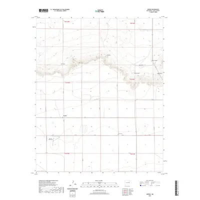
2020 Map of Jordan
USGS Topo · Published 2020About this map
Jordan sits at the center of this high plains landscape in Quay County, where the Llano Estacado meets the dramatic breaks of the Canadian River valley. The terrain is defined by a sharp escarpment that separates the flat southern tablelands from the deeply incised canyons to the north. Features such as Ish Canyon, Honey Canyon, and Rincon Canyon carve into the caprock below prominent landmarks like Piñon Point and Sand Mtn. To the south, the land levels out into a grid of ranch roads, including Quay Rd Ave and Pasture Rd, which service the remote homesteads and agricultural operations of the region. Local history is anchored by the Browning Cem and the small landing strip at Akin and Akin Airport, reflecting the isolation and necessity of flight and community in this part of Eastern New Mexico.
Find a feature on this map
30 named features on this map. Tap any name to fly to it.
Don’t see what you’re looking for? This feature index may not catch every label — zoom into the map to look around manually.
Map Details
Editions of this 2020 Jordan Map
This is the sole edition of this map. No revisions or reprints were ever made.
Other maps of this area

1954 · Clovis
USGS Topo · 1:250,000

1958 · Clovis
USGS Topo · 1:250,000

1970 · Jordan
USGS Topo · 1:24,000

1970 · Quay
USGS Topo · 1:24,000
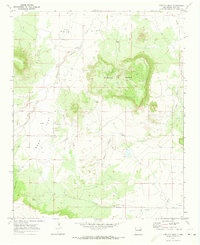
1970 · Circles S Mesa
USGS Topo · 1:24,000
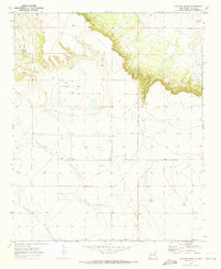
1970 · Cunavea Basin
USGS Topo · 1:24,000

1971 · Ragland
USGS Topo · 1:24,000
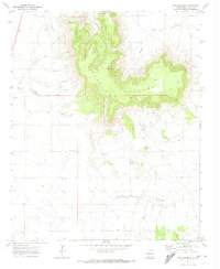
1971 · Mesa Redonda
USGS Topo · 1:24,000

1973 · Weber City
USGS Topo · 1:24,000

1973 · House
USGS Topo · 1:24,000