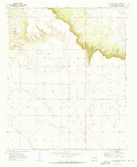
1970 Map of Cunavea Basin
USGS Topo · Published 1973About this map
The Cunavea Basin landscape in Quay County is defined by its arid, mesa-topped terrain and the vital reliance on isolated water sources. Published based on 1970 field data, this survey illustrates a sparse ranching environment where life centered around features like Hart Springs and Alamo Spring. The topography transitions from the high, flat basin floor into the carved drainage of Long Canyon and Hatfield Canyon. Human activity is marked primarily by infrastructure for livestock and resource extraction, including scattered Tanks, a central Water Tank, and a Gravel Pit. The map is particularly useful for identifying historical fence lines and remote Wells that often served as the only landmarks in this expansive section of the New Mexico plains.
Find a feature on this map
12 named features on this map. Tap any name to fly to it.
Don’t see what you’re looking for? This feature index may not catch every label — zoom into the map to look around manually.
Map Details
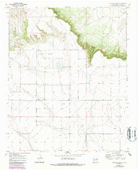
Editions of this 1970 Cunavea Basin Map
2 editions found
Other maps of this area

1954 · Fort Sumner
USGS Topo · 1:250,000

1954 · Clovis
USGS Topo · 1:250,000

1958 · Fort Sumner
USGS Topo · 1:250,000

1958 · Clovis
USGS Topo · 1:250,000

1968 · Hassell
USGS Topo · 1:24,000

1968 · Ima SE
USGS Topo · 1:24,000
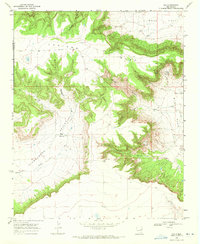
1968 · Ima
USGS Topo · 1:24,000

1970 · Jordan
USGS Topo · 1:24,000

1970 · Quay
USGS Topo · 1:24,000
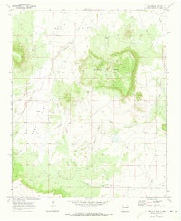
1970 · Circles S Mesa
USGS Topo · 1:24,000